What is recorded here
Kilcolman West contains a forty-metre earthen ring buried beneath briars and thorns. Cattle still force two narrow gaps through its south-east bank to reach the small paddock beside it. The fort has surrendered its shape to pasture and overgrowth, yet the heavy earth remains visible beneath the green chaos.
In pasture, on gentle N-facing slope. Sub-circular area (diam. c. 40m) enclosed by earthen bank (int. H 1.55m; ext. H 1.6m); entire site is covered by dense overgrowth. Bank, best preserved along S arc, has two adjacent cattle breaks at SE (each Wth 2m); these give access to small paddock between enclosure and N-S field boundary short distance to E. Bank abutted by field boundaries at W, NE, and SSE. Earth-and-stone bank (int. H 1.4m; ext. H 0.5m) forms roughly D-shaped annex (8m N-S) on S side. Interior is covered by a thicket of briars and thorn.
Compiled by: Denis Power
Date of upload: 26 August 2011
The monument record does not grant public access. Check the route and ask the landowner before entering private land.
- What survives
- Recorded monument
Places near here
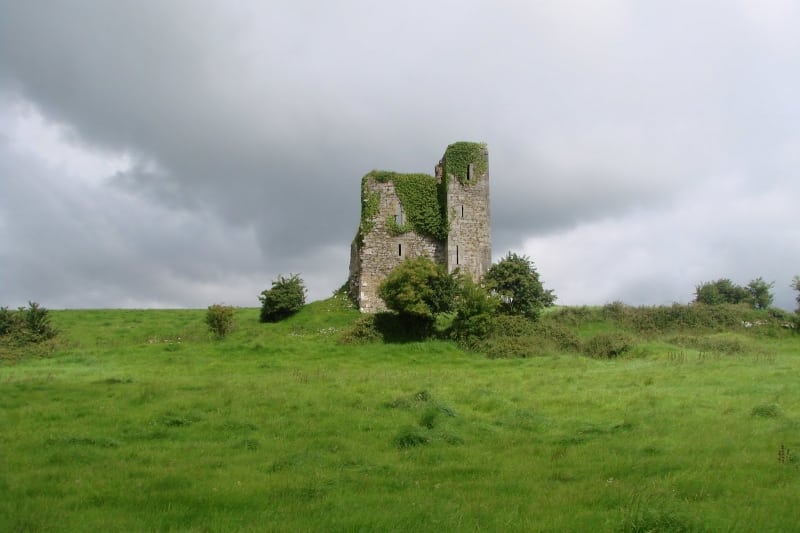 Enclosure in Kilcolman EastEnclosure · 502 yd
 Enclosure in AughalinEnclosure · 992 yd
 post boxpost box · 1259 yd
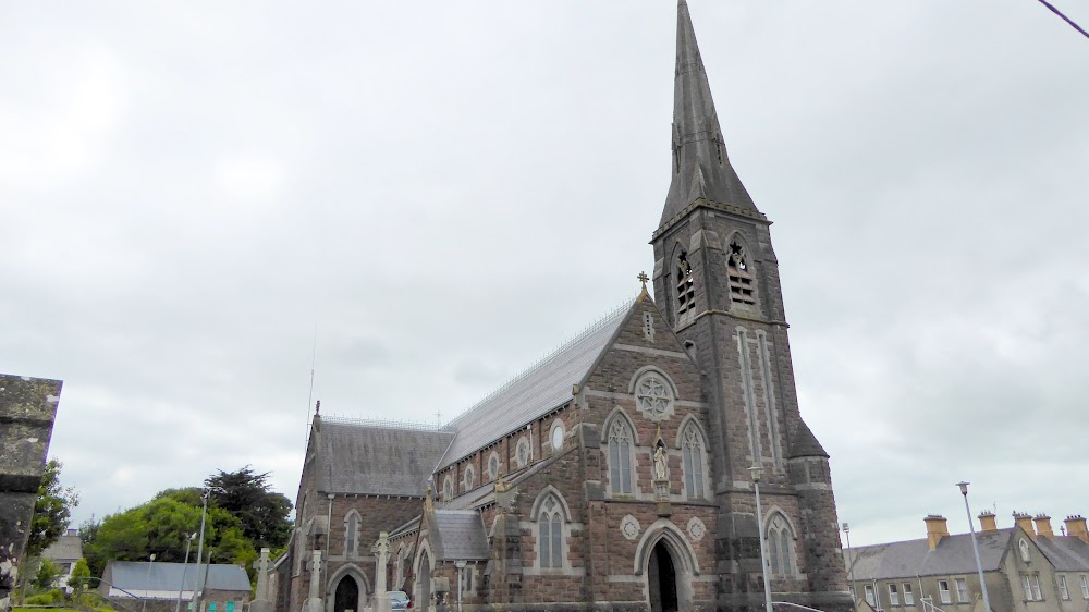 Church (in Ruins)Church · 1.0 mi
 European ashEuropean ash · 1.0 mi
 LaghtpatrickSpring · 1.1 mi
 CastleCastle, tower house · 1.2 mi
 Lady's WellSpring · 1.7 mi
 Ballynoe Castle (in ruins)Castle, tower house · 2.4 mi
 Flat cemetery in CroaghFlat cemetery · 5.4 mi
 Flat cemetery in Kiltenan SouthFlat cemetery · 5.7 mi
 Limerick GreenwayWalking route · 8.5 mi