What is recorded here
Kilcolman held a forty-metre earthen ring around a central well before ploughs and drains cut through its flesh. The 1842 survey still showed the circular bank and water source, marking the fort as a lived-in anchor rather than a forgotten shape. That anchor has faded into pasture and field boundaries, leaving behind a waterlogged basin and a possible hidden passage. The fort may have been a home, a trap, or a chamber for the unseen, but the earth has taken back its shape and keeps the fort inside itself.
In pasture. Depicted as hachured circular enclosure (diam. c. 40m) on 1842 OS 6-inch map, with well marked at centre. Levelled; portion of E bank may remain in field boundary to NE. Interior cut by stream, drains, field boundaries and is partially waterlogged. Possible Man-made underground passage (CO041-186---) in interior.
The above description is derived from the published 'Archaeological Inventory of County Cork. Volume 4: North Cork' (Dublin: Stationery Office, 2000). In certain instances the entries have been revised and updated in the light of recent research.
Date of upload/revision: 14 January 2009
The monument record does not grant public access. Check the route and ask the landowner before entering private land.
- What survives
- Recorded monument
Places near here
 Man-made underground passage in Kilcolman (duhallow By., Kilshannig Par.)Man-made underground passage · 1 yd
 Kilcolman Lodgehouse · 141 yd
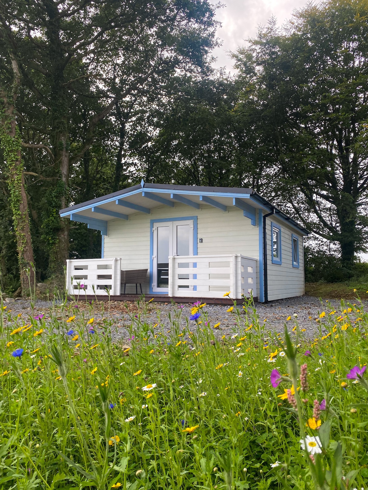 Kilcolman WellHoly well · 177 yd
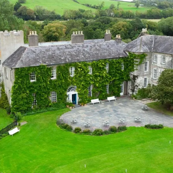 BoherbrádaghRoad, road/trackway · 619 yd
 Dromaneen CastleHeritage attraction · 2.5 mi
 Bweeng LittleMountain / peak · 3.2 mi
 Castle Barrett (in Ruins)Castle, Anglo-Norman masonry castle · 3.3 mi
 Castle BarrettCastle · 3.3 mi
 In loving memory of Elvis O'DonoghueMemorial · 3.7 mi
 Lyradane MountainMountain / peak · 5.4 mi
 Knockduff Wind FarmVisitor information · 5.6 mi
 Mount Hillary - Knightfield LoopWalking route · 6.0 mi