What is recorded here
In pasture, on N facing slope. Indicated on 1842 OS 6-inch map as isolated trackway (L c. 500m) curving uphill to SE, unconnected to any other existing road system; N and S ends terminate in fields. On 1904 OS 6-inch map, trackway extended to N as far as main road. Stretch of trackway (Wth c. 2.7m at S, widening to c. 4.9m at N) has been cut into hillside (D 1.7m in places) for most of its length with stone-faced earthen banks or scarps on either side. According to Berry (1905, 53), 'a short road called Boherbradagh (thieves' road), which tradition says was formed by enchanted cattle, that fed in the mountains, and passed along it daily to drink in the Blackwater'. Bowman (1934, 558), records story that the cows gave milk to all who required it but after a greedy woman endeavoured to milk them dry, they never again passed that way. Ringfort (12593) c. 60m to W.
The above description is derived from the published 'Archaeological Inventory of County Cork. Volume 4: North Cork' (Dublin: Stationery Office, 2000). In certain instances the entries have been revised and updated in the light of recent research.
Date of upload/revision: 14 January 2009
The monument record does not grant public access. Check the route and ask the landowner before entering private land.
- What survives
- Recorded monument
Places near here
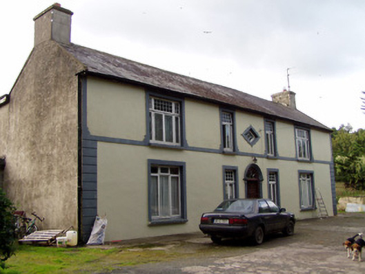 Aldworth Househouse · 512 yd
 Aldworth Lodgehouse · 590 yd
 Kilcolman WellHoly well · 614 yd
 Man-made underground passage in Kilcolman (duhallow By., Kilshannig Par.)Man-made underground passage · 619 yd
 Dromaneen CastleHeritage attraction · 2.1 mi
 Bweeng LittleMountain / peak · 3.2 mi
 In loving memory of Elvis O'DonoghueMemorial · 3.7 mi
 Mallow Castle RuinRuins · 4.3 mi
 Gurteenkreen Castle (Site of)Castle, unclassified · 4.5 mi
 Mount Hillary - Knightfield LoopWalking route · 5.7 mi
 Lyradane MountainMountain / peak · 5.7 mi
 Mount Hillary - Mount Hillary LoopWalking route · 5.8 mi
Other information
Photo: Credit not shown in the picture search · Rights wording not checked; contact us if this picture should be removed