What is recorded here
Kilcogy holds a broken ring where human hands shaped earth into a circle before forgetting the name of the maker. Two low banks and a narrow ditch once enclosed thirty-three metres of life, yet only the west and north remember the outer wall. The south has vanished entirely, leaving the fort open to sky, rain and rumour. That is why it is called a fairy fort: not because fairies built it, but because people stopped answering for it.
A much-disturbed raised circular area (int. diam. 33m) enclosed by two low earthen banks with intermediate fosse. Outer bank identifiable only from W-NW-N. No remains of fosse or inner bank at S. An earlier report (OPW 1970) recorded that the original entrance was at WNW.
The above description is derived from the published 'Archaeological Inventory of County Cavan' (Dublin: Stationery Office, 1995). In certain instances the entries have been revised and updated in the light of recent research.
Date of upload/revision: 22 December 2008
The monument record does not grant public access. Check the route and ask the landowner before entering private land.
- What survives
- Recorded monument
Places near here
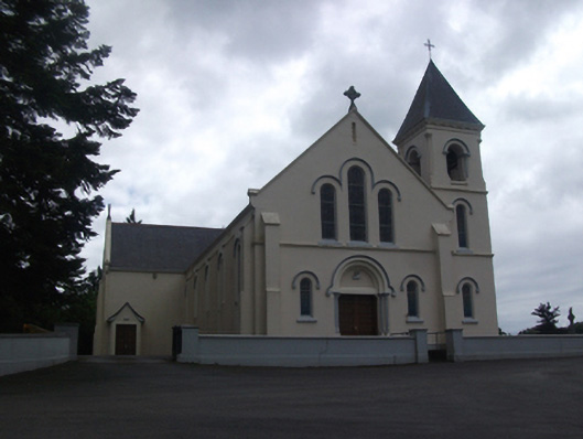 Our Lady of Lourdes Roman Catholic Churchchurch/chapel · 1229 yd
 IdicatedCastle, unclassified · 1374 yd
 Callanagh FortFairy fort / earthen ringfort · 1495 yd
 Enclosure in Carnagh UpperEnclosure · 1.5 mi
 CartronfreeMountain / peak · 2.0 mi
 DrumbrucklisMountain / peak · 2.1 mi
 Moynagh Upper ForestForest · 2.2 mi
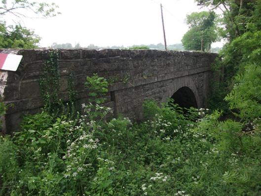 bridgebridge · 2.3 mi
 Carrick RockWood · 2.9 mi
 Sporting RockIslet · 3.6 mi
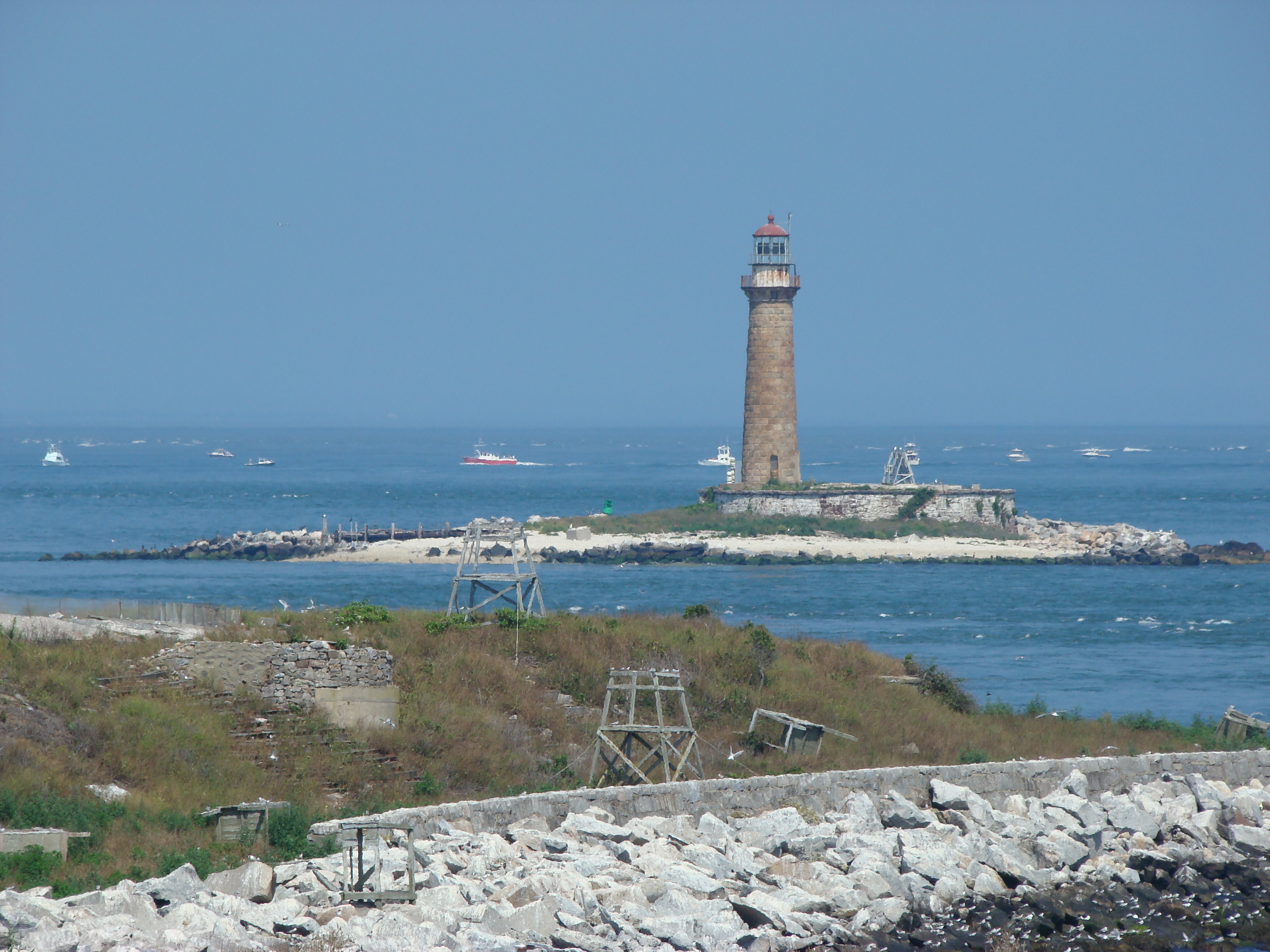 Gull IslandIslet · 3.7 mi
 Bakers FortCastle, ringwork · 4.8 mi