What is recorded here
Marked only on the 1940 ed. of the OS 6-inch map, and situated towards the bottom of the NW-facing slope of Tara Hill. This is a subcircular grass-covered area (dims. 31m NE-SW; 28m NW-SE) defined by an earthen bank (Wth c. 6m; int. H 0.5m; max. ext. H 1.8m) with bushes, which has an external fosse (Wth of top 4.5m at SE to 7m at NW; Wth of base 2m; D 0.3m) E-S and W-N. There is an outer bank (Wth 4m; H 0.5m) W-N (max. ext. diam. 43m NW-SE). There is no visible entrance, and the fosse and outer bank are incorporated into a SE-NW stream at NE, and curtailed by an E-W field bank at SW.
The above description is derived from the published 'Archaeological Inventory of County Wexford' (Dublin: Stationery Office, 1996). In certain instances the entries have been revised and updated in the light of recent research.
Date of upload/revision: 15 March, 2012
The monument record does not grant public access. Check the route and ask the landowner before entering private land.
- What survives
- Recorded monument
Places near here
 CastleCastle, unclassified · 236 yd
 St Winifreds WellHoly well · 500 yd
 Church in Kilcavan LowerChurch · 624 yd
 Tara HillMountain / peak · 781 yd
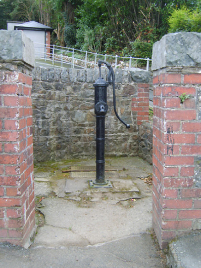 water pumpwater pump · 1014 yd
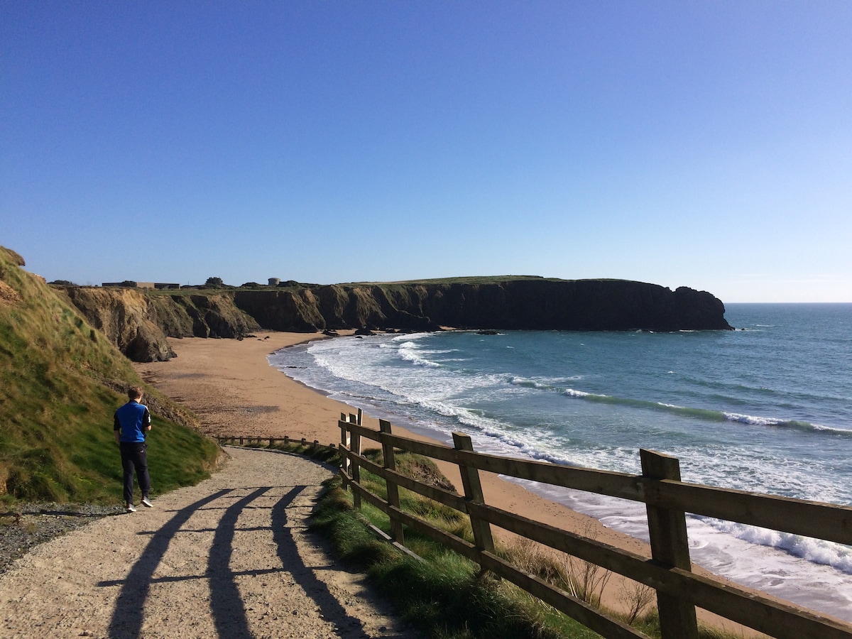 TobercavanHoly well · 1157 yd
 Kia Ora Mini FarmHeritage attraction · 2.3 mi
 Curragh WoodWood · 2.6 mi
 Duffcarrig Rocks BeachBeach / strand · 2.9 mi
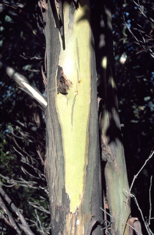 Johnston's gumJohnston's gum · 2.9 mi
 Market HouseHeritage attraction · 3.5 mi
 1798 MonumentMemorial · 3.9 mi