
What is recorded here
Situated at the N base of Tara Hill, at a point where the slope eases off. This is the site of the parish church of Kilcavan in Gorey barony, named after St. Coemhan whose pattern was held on the 12th June until c. 1810 according to John O'Donovan writing c. 1840 (O'Flanagan 1933, vol. 1, 6). One length of a wall base running N-S (L 8.6m; Wth 1m) is all that remains of the church within a rectangular graveyard (dims c. 60m NE-SW; 10-30m NW-SE) on the SE side of the road. The graveyard was extended E and is now a triangular area (dims. c. 70m E-W; c. 70m N-S) defined by masonry walls. St Winifred's Well (WX007-013----) is c. 200m to the S.
The above description is derived from the published 'Archaeological Inventory of County Wexford' (Dublin: Stationery Office, 1996). In certain instances the entries have been revised and updated in the light of recent research.
Date of upload/revision: 15 March 2012
The church in Kilcavan Lower was built in the early medieval period, likely by a monastic community dedicated to St. Coemhan, and is situated near Tara Hill, reflecting the area's historical religious significance. Its location and dedication suggest a connection to early Christian traditions in the region.
The monument record does not grant public access. Check the route and ask the landowner before entering private land.
- What survives
- Recorded monument
Places near here
 St Winifreds WellHoly well · 254 yd
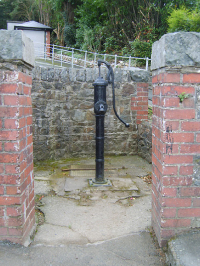 water pumpwater pump · 522 yd
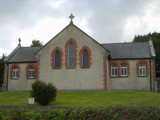 Saint Kevin's Catholic Churchchurch/chapel · 534 yd
 CastleCastle, unclassified · 543 yd
 Tara HillMountain / peak · 970 yd
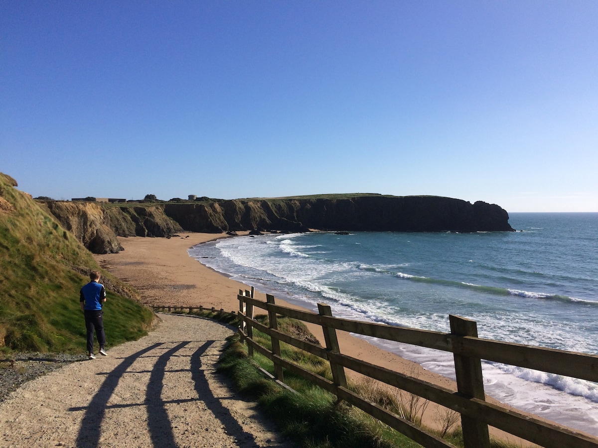 TobercavanHoly well · 1277 yd
 Kia Ora Mini FarmHeritage attraction · 2.6 mi
 Curragh WoodWood · 2.7 mi
 Duffcarrig Rocks BeachBeach / strand · 3.1 mi
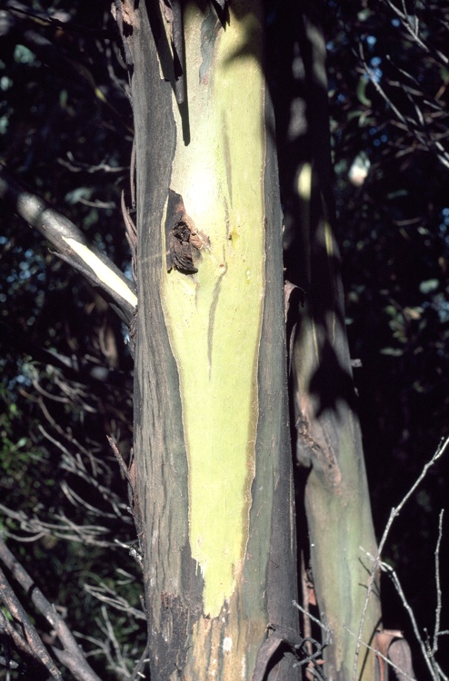 Johnston's gumJohnston's gum · 3.1 mi
 Market HouseHeritage attraction · 3.9 mi
 1798 MonumentMemorial · 4.3 mi
Other information
Photo: Credit not shown in the picture search · Rights wording not checked; contact us if this picture should be removed