What is recorded here
Kilcarty holds a broad earthen ring where a shallow ramp still cuts the south bank, inviting entry into a grassy chamber thirty metres across. The north edge drops slightly while the south rises higher, shaping an oval bowl that watches the undulating land. People may have lived inside, feared the dark, or simply recognized a boundary drawn by hands rather than stones. The fort does not need a name to be certain; it is certain in the shape of its own making.
Situated on a rise in an undulating landscape. This is a raised subcircular and grass-covered area (dims 34m E-W; 30m N-S) defined by a scarp (at N: Wth 4m; H 1.2m; at S: Wth 5m; H 1.8m) with some trees. There is evidence of a fosse in a wet area ENE-SW and a road bank 2m beyond the base of the scarp SW-WNW, but there is no evidence of a fosse elsewhere. The entrance is a ramp (Wth of base 2.8m) at SSE, but the scarp is quarried at NE and ESE. It remains unplanted at the W edge of a coniferous forest.
The above description is derived from the published 'Archaeological Inventory of County Meath' (Dublin: Stationery Office, 1987). In certain instances the entries have been revised and updated in the light of recent research.
Compiled by: Michael Moore
Date of revision: 21 August 2019
The monument record does not grant public access. Check the route and ask the landowner before entering private land.
- What survives
- Recorded monument
Places near here
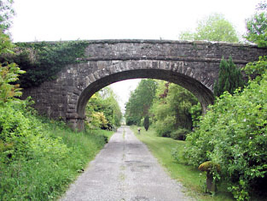 bridgebridge · 871 yd
 Enclosure in Athronan (deece Lower By.)Enclosure · 1071 yd
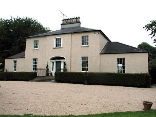 The Old Rectoryrectory/glebe/vicarage/curate's house · 1183 yd
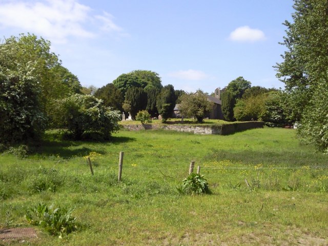 IndicatedGraveyard · 1339 yd
 Beech & Oak WoodWood · 1.2 mi
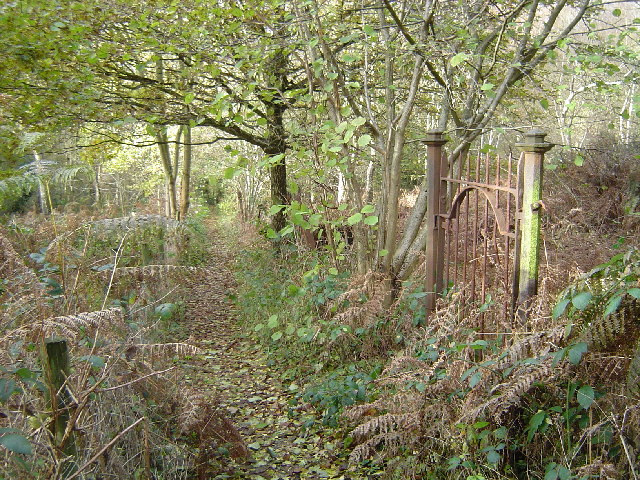 Moore's Hill WoodWood · 1.3 mi
 Dunsany CastleCastle, unclassified · 1.9 mi
 CastleCastle, unclassified · 2.1 mi
 Battle of Tara (Ireland)Major battlefield · 3.0 mi
 Battle of Tara Hillbattle · 3.0 mi
 Saint Patrick'sMemorial · 3.1 mi
 Tara Open StudioGallery · 3.2 mi