What is recorded here
On slight W facing slope of land with bogland to the SW. Roughly circular area (diam. 63m N-S; 62m E-W) defined by a poorly preserved earth and stone bank mainly reduced to a scarp with slight remains of an external fosse, no clear entrance feature visible. A gap (Wth 2m) at NNE may be the remains of an original feature was recorded in 1971 but this feature was not visible in 1976. The enclosing element of the monument has been levelled due to the removal of the townland boundary from NW-N and a field boundary ditch at NE. Both of these boundary hedges are visible on the current ed. OS 6-inch map. Monument is visible as a cropmark on 2005 OSI aerial photographs. Traces of cultivation ridges can be seen running E-W across the N quadrant of the ringfort interior.
Compiled by: Caimin O’Brien
Date of upload: 31 July 2013
The monument record does not grant public access. Check the route and ask the landowner before entering private land.
- What survives
- Recorded monument
Places near here
 Partially hachuredFairy fort / earthen ringfort · 656 yd
 OutlinedEnclosure · 780 yd
 Calverstown Houseoutbuilding · 1187 yd
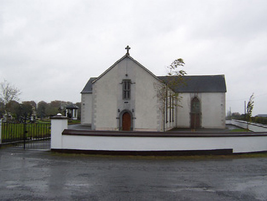 Catholic Church of the Sacred Heartchurch/chapel · 1338 yd
 CastleCastle, tower house · 1.8 mi
 Castlelost MoatCastle, motte and bailey · 1.8 mi
 Dysart IslandIsland · 3.5 mi
 Ash IslandIslet · 3.8 mi
 Derrygreenagh HillMountain / peak · 5.2 mi
 Ardan WoodWood · 5.4 mi
 Bonfire HillMountain / peak · 6.1 mi
 Ancient Ring FortWood · 7.0 mi