What is recorded here
A sub-triangular shaped enclosure is depicted on the first ed. OS 6-inch map. Depicted as a tree plantation and not as antiquity, on the 1818 Boyd Belvedere Map of Kilbrennan townland (WCL/M/BBE/6). On the OS Fair Plan the monument is depicted as a sub-triangular-shaped earthwork delimited by a scarp and annotated on the map as 'fort'. Situated on top of a prominent hillock with good views to NW and N of undulaing pasture. The monument has been levelled and is not visible at ground level. On the first ed. OS 6-inch map the monument is depicted as a sub-triangular shaped earthwork with straight side at S and W with bank at NE running diagonally from NW-SE. The cropmark of this bank on the NE side is visible on bing maps aerial photography taken in 2011.
See attached document containing bing maps aerial photograph which shows shadow of levelled NE bank of ringfort.
Compiled by : Caimin O'Brien
Date of upload: 08 July 2013
The monument record does not grant public access. Check the route and ask the landowner before entering private land.
- What survives
- Recorded monument
Places near here
 Partially hachuredFairy fort / earthen ringfort · 432 yd
 OutlinedEnclosure · 852 yd
 Calverstown Houseoutbuilding · 1359 yd
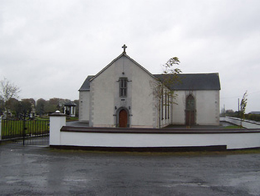 Catholic Church of the Sacred Heartchurch/chapel · 1754 yd
 CastleCastle, tower house · 1.6 mi
 Robinstown CastleCastle · 1.7 mi
 Dysart IslandIsland · 3.4 mi
 Ash IslandIslet · 3.7 mi
 Derrygreenagh HillMountain / peak · 5.3 mi
 Ardan WoodWood · 5.6 mi
 Bonfire HillMountain / peak · 6.4 mi
 High WoodWood · 9.3 mi