What is recorded here
Keelogalabaun holds a broken oval of earth and stone, wide enough for a dozen people to walk beside one another before the hillside swallows the bank. Cows graze inside the fort now, unaware that they step across a threshold marked by a narrow gap in the eastern wall. The ditch that once sharpened its edge has filled with soil and forgotten time, leaving the ring soft, exposed, and easier to cross than it was meant to be.
On a knoll in pasture. A raised roughly oval area (c. 38m NW-SE; c. 24m NE-SW) enclosed by a poorly preserved, low bank of earth and stone (Wth 3.2-3.4m; H 0.5-0.7m). The outer face of the bank merges into the hillside from SE-S-W. From SW-N-ESE it has been incorporated into a field boundary. A report in 1976 (SMR file) recorded an external fosse, which has since been infilled. A break (Wth 2.8m) in the bank at ENE may mark the original entrance.
Compiled by: Patrick F. O'Donovan
Date of upload: 26 August 2011
The monument record does not grant public access. Check the route and ask the landowner before entering private land.
- What survives
- Recorded monument
Places near here
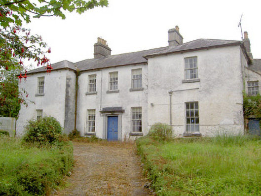 Glebe Houserectory/glebe/vicarage/curate's house · 202 yd
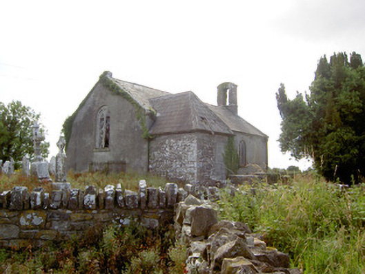 Moydow Churchchurch/chapel · 259 yd
 Enclosure in Moydow GlebeEnclosure · 273 yd
 BarrowBarrow, bowl-barrow · 1187 yd
 Bawn Castle & NunneryHouse, fortified house · 1305 yd
 Bawn in CastlereaBawn · 1617 yd
 National Famine WayWalking route · 1.1 mi
 Graveyard in Curry (ardagh By., Coolamber Ed)Graveyard · 2.2 mi
 First World War MemorialMemorial · 4.0 mi
 Saint Mel's CathedralCathedral · 4.1 mi
 Commons North WalkVisitor information · 8.7 mi
 Wild birdsVisitor information · 8.7 mi