What is recorded here
Keelogalabaun holds a broken fairy fort where a field boundary cuts through ancient earth. The remaining ring measures thirty metres across, but ploughing and development have erased the entrance and half the story. What is left is a low ridge of soil and stone, wide enough to walk along but too thin to stop anyone. The fort has become a boundary marker, its shape reduced to a line on the land.
On a low hillock in rolling countryside. A raised circular area (diam. 30.4m) enclosed by a partially denuded, wide, low bank of earth and stone (Wth 6.8m; H 0.3-0.8m). There is no trace of a fosse. The rath is divided into unequal portions by an ENE-WSW field boundary. The smaller portion, to the NNW, has been levelled and is not visible at ground level. The original entrance is not recognisable.
Compiled by: Patrick F. O'Donovan
Date of upload: 26 August 2011
This remains an important historical record, but the official description says the monument is no longer visible or has been destroyed. The monument record does not grant public access. Check the route and ask the landowner before entering private land.
- What survives
- No visible remains or recorded as destroyed
Places near here
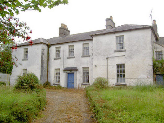 Glebe Houserectory/glebe/vicarage/curate's house · 290 yd
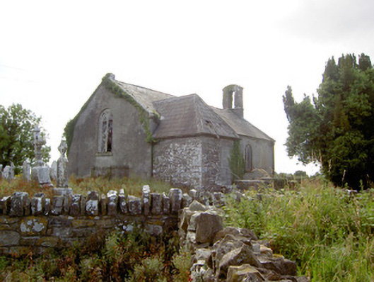 Moydow Churchchurch/chapel · 426 yd
 Enclosure in Moydow GlebeEnclosure · 449 yd
 Bawn Castle & NunneryHouse, fortified house · 1300 yd
 BarrowBarrow, bowl-barrow · 1327 yd
 Bawn in CastlereaBawn · 1.0 mi
 National Famine WayWalking route · 1.2 mi
 Graveyard in Curry (ardagh By., Coolamber Ed)Graveyard · 2.1 mi
 First World War MemorialMemorial · 3.9 mi
 Saint Mel's CathedralCathedral · 4.0 mi
 Commons North WalkVisitor information · 8.6 mi
 Wild birdsVisitor information · 8.6 mi