What is recorded here
An invisible ringfort in Jamestown, County Leitrim, holds a 35m grass circle beside the Shannon, marked only by a shallow ditch and a field bank crossing its chest. The fairies may have built it, but humans clearly lived there, shaped it and forgot it. A house later took part of the west side, proving that even mythical places must share their ground with ordinary ambition.
Situated in a low-lying position with a S-N section of the River Shannon c. 100m to the E. This feature is not depicted on any OS map, but it is visible as a circular feature (diam. c. 35m N-S) on aerial photographs (ACAP: V43/11280-1) and some later series (OSAP: 1995; 2017; Google Earth 01/03/2110; 24/03/2017). It is a circular grass-covered area (diam. c. 35m N-S) defined by a slight fosse (Wth 1.5m). It is overlain by a N-S field bank W of the centre, and in 1991 (SMR file) it was best preserved W of this feature as a grass-covered D-shaped platform (dims. c. 25m N-S; c. 13m E-W) defined by a slight fosse (Wth 1.5m). The entrance was not identified, and by 1995 a house had been built partly on its NW quadrant (OSAP).
The above description is derived from 'The Archaeological Inventory of County Leitrim' compiled by Michael J. Moore (Dublin: Stationery Office, 2003). In certain instances the entries have been revised and updated in the light of recent research.
Compiled by: Michael Moore
Date of revised upload: 16 October 2019
The monument record does not grant public access. Check the route and ask the landowner before entering private land.
- What survives
- Recorded monument
Places near here
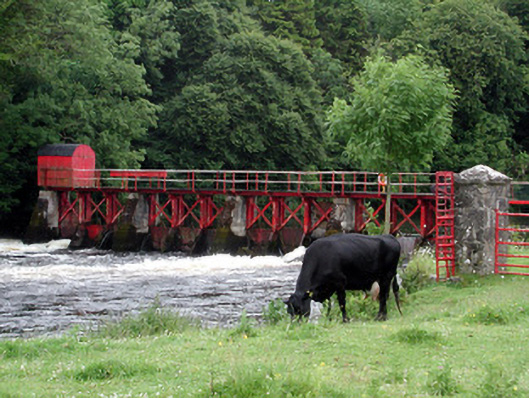 sluice/sluice gatesluice/sluice gate · 345 yd
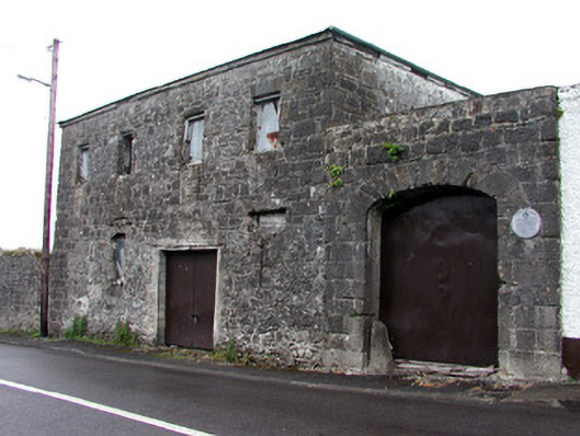 store/warehousestore/warehouse · 385 yd
 IndicatedTown defences · 523 yd
 Enclosure in JamestownEnclosure · 787 yd
 Patrick Gill Memorial Plaque (IRA)Monument · 1.1 mi
 Robert Strawbridge MemorialMemorial · 1.1 mi
 Wildlife AreaNature reserve · 1.3 mi
 CastlecarraCastle, unclassified · 2.1 mi
 Site of Dangan CastleCastle, unclassified · 2.5 mi
 Moon RiverHeritage attraction · 2.6 mi
 Mullinashee WoodForest · 4.4 mi
 InishmoylinIslet · 4.6 mi