What is recorded here
Located on a low-lying level landscape, with the SW-NE Owenavorragh River c. 220m to the W. The cropmark of a circular enclosure (diam. c. 40m) defined by a single fosse feature is visible on aerial photographs (MM (13) 4-7).
Compiled by: Michael Moore
Date of upload: 15 June, 2012
Amended: 30 April, 2014
The monument record does not grant public access. Check the route and ask the landowner before entering private land.
- What survives
- Recorded monument
Places near here
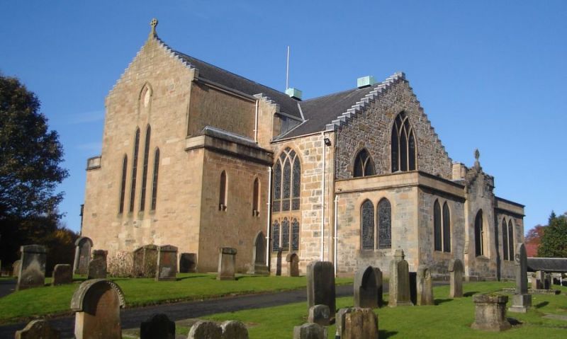 Church in Kilpatrick (ballaghkeen By.)Church · 1007 yd
 Enclosure in Tomgarrow (ballaghkeen By.)Enclosure · 1134 yd
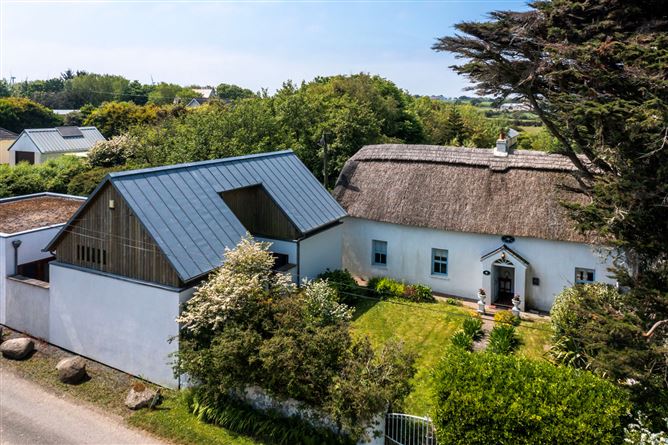 Enclosure in BallyvaddenEnclosure · 1442 yd
 Bird BoxesVisitor information · 1452 yd
 Birds of PreyVisitor information · 1622 yd
 Fontainebleau service treeFontainebleau service tree · 1.2 mi
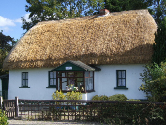 Dreybrinehouse · 1.3 mi
 Hachured moundCastle, motte · 2.3 mi
 Kilnamanagh Grave YardArchaeological place · 2.7 mi
 Site of Morris CastleCastle, unclassified · 2.8 mi
 Shrule Deer FarmHeritage attraction · 3.5 mi
 Oulart HillMountain / peak · 3.5 mi