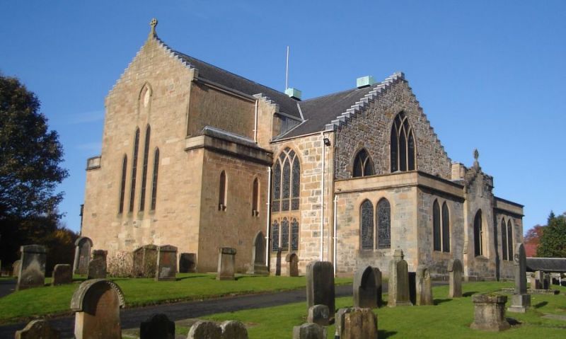
What is recorded here
Located on a slight S-facing slope. There is a record from the 1940s of the remains of a rectangular building (int. dims. c. 11m x c. 4.5m) at the graveyard site (WX021-013001-) (SMR file). It is no longer visible.
Compiled by: Michael Moore
Date of upload: 15 June, 2012
The monument record does not grant public access. Check the route and ask the landowner before entering private land.
- What survives
- Recorded monument
Places near here
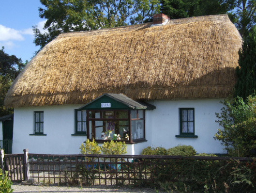 Dreybrinehouse · 1353 yd
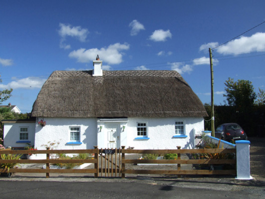 Old Mill Cottagehouse · 1357 yd
 Bird BoxesVisitor information · 1495 yd
 IndicatedEnclosure · 1679 yd
 Enclosure in Tomgarrow (ballaghkeen By.)Enclosure · 1687 yd
 Birds of PreyVisitor information · 1.0 mi
 Fontainebleau service treeFontainebleau service tree · 1.2 mi
 Kilnamanagh Grave YardArchaeological place · 2.8 mi
 Hachured moundCastle, motte · 2.9 mi
 Site of Morris CastleCastle, unclassified · 3.2 mi
 Shrule Deer FarmHeritage attraction · 3.5 mi
 Oulart HillMountain / peak · 3.5 mi
Other information
Photo: Credit not shown in the picture search · Rights wording not checked; contact us if this picture should be removed