What is recorded here
Situated on a gentle NE-facing slope in a low-lying landscape. The parchmark of a subcircular area (dims c. 47m E-W; c. 42m N-S) defined by a slight but continuous feature with straight sections at N and E is visible only on Google Earth (14/07/2018). There is a subrectangular feature (dims c. 24m x c. 20m) in the interior, which may be a quarry. It was first reported by Simon Dowling. See the attached enhanced view from Google Earth
Compiled by: Michael Moore
Date of upload: 6 March 2020
From the National Monuments Service (Archaeological Survey of Ireland) record WX021-049
The monument record does not grant public access. Check the route and ask the landowner before entering private land.
- What survives
- Recorded monument
Places near here
Photo credits
- National Inventory of Architectural Heritage
- Lucygeraghty123, Wikimedia Commons · CC BY-SA 4.0
- Bruce Marlin, Wikimedia Commons · CC BY-SA 2.5
- sarah777, Wikimedia Commons · CC BY-SA 2.0
- Michael Dibb, Geograph · CC BY-SA 2.0
- Hywel Williams, Wikimedia Commons · CC BY-SA 2.0
- Andrewmc, Wikimedia Commons · CC BY-SA 3.0
- Andreas F. Borchert, Wikimedia Commons · CC BY-SA 4.0
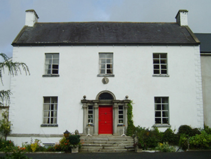 farm house1.1 miBirds of PreyVisitor information · 1.1 miBird BoxesVisitor information · 1.1 mi
 Wells HouseCountry house · 1.3 mi
 Fontainebleau service tree1.4 miFontainebleau service tree1.6 miHachured moundCastle, motte · 1.7 mi
 1798 MemorialMonument · 3.2 mi
 Morriscastle BeachBeach / strand · 3.4 mi
 Tulach a' tSolaisMonument · 3.8 mi
.jpg/250px-1798_Monument_(1).jpg "Photo: Andrewmc, Wikimedia Commons · CC BY-SA 3.0") 1798 MonumentMemorial · 4.5 mi
1798 MonumentMemorial · 4.5 mi Glascarrig AbbeyArchaeological place · 6.4 mi
More archaeology and monuments in County Wexford · All of County Wexford
What do you know about this place?