What is recorded here
Situated on a slight rise, in gently undulating pasture, with good views to NNW and overlooked by higher ridges to E, S and W. Depicted on the first ed. OS 6-inch map as a D-shaped area intersected at W by an old laneway running roughly N-S. Monument shown on the revised 1913 ed. OS 25-inch map as a D-shaped enclosure intersected at W by a field boundary running NNW-SSE.
Monument described in 1972 as a much disturbed, roughly circular-shaped area (dims. 26.8m NNW-SSE; 24.4m WSW-ENE) enclosed by an earthen bank, intervening fosse and an outer bank with no clear entrance feature. The inner bank is low and is disturbed from NE-E-SE where it is replaced by a modern field bank. The inner bank has also been dug away from WSW-W-WNW. The slight remains of an intervening fosse and an outer bank are visible from NNE-N-W. The interior rises slightly from the perimeter towards the centre. A curvilinear bank is visible within the perimeter of the interior from SW-W-N-NNE and it adjoins the inner bank of the ringfort at SW and NNE. The remains of a hut site (WM019-032001-) are visible in the W quadrant. Monument is visible on Digital Globe aerial photography as a partially tree-lined enclosure.
Compiled by: Alison McQueen, Vera Rahilly and Caimin O’Brien
Date of upload: 03 April 2019
The monument record does not grant public access. Check the route and ask the landowner before entering private land.
- What survives
- Recorded monument
Places near here
 Partially hachuredFairy fort / earthen ringfort · 608 yd
 CastlemitchelCastle, unclassified · 829 yd
 TullaghanCastle, tower house · 1392 yd
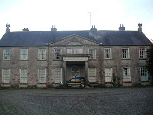 Levington Parkcountry house · 1548 yd
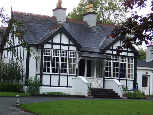 Rathgowanhouse · 1592 yd
 OutlinedFairy fort / earthen ringfort · 1628 yd
 United Nations War MemorialMemorial · 1.1 mi
 Saint Brigid's WellSpring · 1.2 mi
 Lady's IslandWood · 1.4 mi
 Srudarra IslandIslet · 1.5 mi
 Mullingar Cathedral MuseumMuseum · 1.6 mi
 Famine MemorialMemorial · 1.8 mi