What is recorded here
Fairy fort / earthen ringfort in Irishtown (moyashel & Magheradernon By.), Walshestown North is a fairy fort or earthen ringfort in Irishtown (moyashel & Magheradernon By.), Walshestown North, County Westmeath, Ireland. The site sits on a small prominent rise in gently undulating pasture, offering good views to the north, east and south. A 1972 description records it as a much disturbed roughly oval area measuring 39.4 metres north to south and 31.7 metres east to west, enclosed by an earthen bank, intervening fosse and an outer bank with no entrance feature visible. The inner bank is best preserved from south-southwest to west-southwest, while elsewhere it is reduced to a steep scarp, with a large portion quarried away to the east-east-southeast and west.
Situated on top of a small prominent rise, in gently undulating pasture with good views to the N, E and S. Depicted on the 1837 ed. OS 6-inch map as a large oval-shaped enclosure in the W corner of a field intersected by a field boundary at SSW and NNW, and with a small quarry hole immediately to E.
Bivallate ringfort described in 1972 as a much disturbed roughly oval-shaped area (dims. 39.4m N-S; 31.7m E-W) enclosed by an earthen bank, intervening fosse and an outer bank with no entrance feature visible. The inner bank is best preserved from S-SW-WSW and elsewhere it is reduced to a steep scarp (H 1.9m). A large portion of the scarp has been quarried away E-ESE and at W. Some of the ground outside the scarp has been quarried away from E-ESE. The slight remains of an intervening fosse and an outer bank are visible from S-SW-WSW. A modern field bank running NE-SW is incorporated into the perimeter from W-N. A second field bank and ditch running NW-SE respects the site to SW. The interior rises slightly from the perimeter towards the centre and has traces of cultivation ridges running NNW-SSE. Monument is visible on Digital Globe aerial photography as an earthwork.
Compiled by: Alison McQueen, Vera Rahilly and Caimin O’Brien
Date of upload: 03 April 2019
The monument record does not grant public access. Check the route and ask the landowner before entering private land.
- What survives
- Recorded monument
Places near here
 Partially hachuredFairy fort / earthen ringfort · 651 yd
 CastlemitchelCastle, unclassified · 887 yd
 OutlinedFairy fort / earthen ringfort · 1229 yd
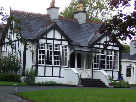 Rathgowanhouse · 1287 yd
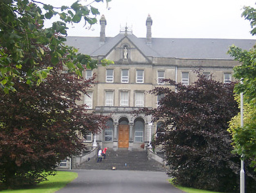 Saint Finian's Collegebuilding misc · 1635 yd
 TullaghanCastle, tower house · 1.0 mi
 United Nations War MemorialMemorial · 1.1 mi
 Saint Brigid's WellSpring · 1.4 mi
 Mullingar Cathedral MuseumMuseum · 1.5 mi
 Famine MemorialMemorial · 1.6 mi
 The Chimera GalleryGallery · 1.6 mi
 Lady's IslandWood · 1.6 mi