What is recorded here
Situated on SE facing slope of low rise of ground, in gently undulating pasture. Monument described in 1970 as a circular-shaped area (diam. 28m) enclosed by a substantial earthen bank and outer fosse. The bank is disturbed by quarrying from S-SSW. There is a small gap in the crest of the bank at NW, although a gap (Wth at top 6.3m; basal Wth 2m) at SE presumably marks the entrance. There is no definite trace of a causeway at SE but the fosse is defaced at this location and may have been removed. The external fosse is wide and U-shaped and is well preserved from SSW-W-N-E-SE and is defaced from SE-S-SSW. There is a slight counterscarp bank outside the fosse from NNE-E-ESE and the ground is disturbed outside the fosse at NW. The interior has a SE-facing slope and has vague indications of cultivation ridges running E-W. Monument is visible today as a circular-shaped earthwork on Digital Globe aerial photography.
Compiled by: Alison McQueen, Vera Rahilly and Caimin O’Brien
Date of upload: 12 February 2019
The monument record does not grant public access. Check the route and ask the landowner before entering private land.
- What survives
- Recorded monument
Places near here
 Hopestown Church (in Ruins)Church · 328 yd
 Partially hachuredFairy fort / earthen ringfort · 366 yd
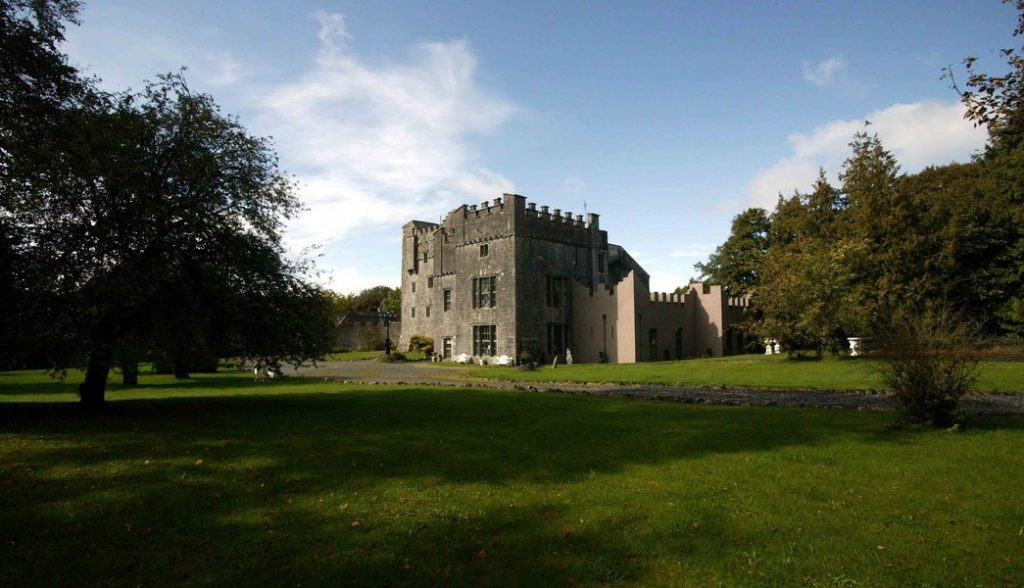 Castle (in Ruins)Castle, tower house · 687 yd
 OutlinedBawn · 727 yd
 gates/railings/wallsgates/railings/walls · 1459 yd
 Ecclesiastical enclosure in Kilpatrick (moyashel & Magheradernon By.)Ecclesiastical enclosure · 1.1 mi
 WestmeathVisitor information · 2.8 mi
 Srudarra IslandIslet · 2.9 mi
 Carrickphilbin IslandIslet · 3.1 mi
 Ancient Ring FortWood · 3.8 mi
 GinkgoGinkgo · 11 mi
 Knockdrin HillMountain / peak · 12 mi