What is recorded here
Fairy forts hide in plain sight, but this one stopped hiding altogether when men levelled it. The earth forgot its own shape, and the field became ordinary. What was hidden by human hands cannot be found by human tools.
In pasture, on terrace (H c. 3.1m) at bottom of S-facing slope. Field known as "the lios field"; lios levelled in the last century (pers. comm. S O'Mahony). No visible surface trace.
The above description is derived from the published 'Archaeological Inventory of County Cork. Volume 2: East and South Cork' (Dublin: Stationery Office, 1994). In certain instances the entries have been revised and updated in the light of recent research.
Date of upload/revision: 14 January 2009
The monument record does not grant public access. Check the route and ask the landowner before entering private land.
- What survives
- Recorded monument
Places near here
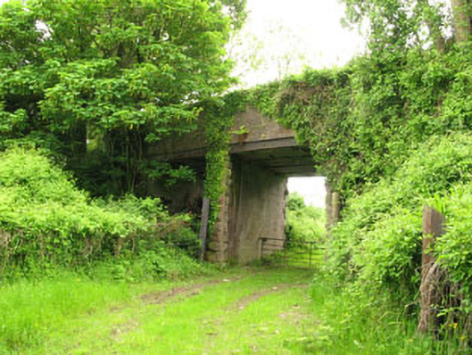 Ballyhemiken Bridgebridge · 543 yd
 Fulacht fia in ShannonparkFulacht fia · 639 yd
 Site of Old CourtHouse, 16th/17th century · 693 yd
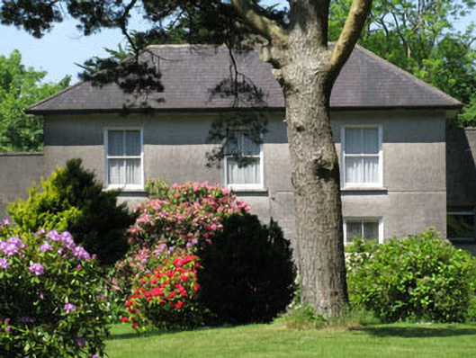 Knockmore Househouse · 1455 yd
 Cogan's CastleCastle · 1.3 mi
 Ballea CastleCastle, tower house · 1.7 mi
 Pauper's GraveyardArchaeological place · 1.7 mi
 Cork WalksVisitor information · 5.7 mi
 Lavitts QuayMemorial · 5.9 mi
 Mount Hillary - Knightfield LoopWalking route · 28 mi
 Pit-burial in Carrigaline MiddlePit-burial · 810 yd
 Burnt spread in Carrigaline MiddleBurnt spread · 828 yd