What is recorded here
Fairy fort / earthen ringfort in Highpark is a circular earthwork on a SE-facing slope in County Limerick, Ireland. It has a scarped edge, an external fosse, a counter-scarp bank, and two gaps in the bank. The interior slopes down in places and remains partly hidden by scrub. People may have lived, kept animals, or marked territory there before the field became pasture.
Situated on a SE-facing slope in gently undulating pasture. The monument, partially obscured by scrub vegetation, consists of a circular area (37m NW-SE; 34m NE-SW) defined by a scarped edge (Wth 4.9m; H 1.5m) with an external fosse (Wth 2.4m) and a counter-scarp bank (int. H 1.1m; Wth. 2m; ext. H 0.2m). There are two gaps in the bank, one at SSW (Wth 2m) and one at NW (Wth 10m). The interior surface is uneven and slopes down to N, SE and SW.
Compiled by: Denis Power
Date of upload: 18 June 2013
The monument record does not grant public access. Check the route and ask the landowner before entering private land.
- What survives
- Recorded monument
Places near here
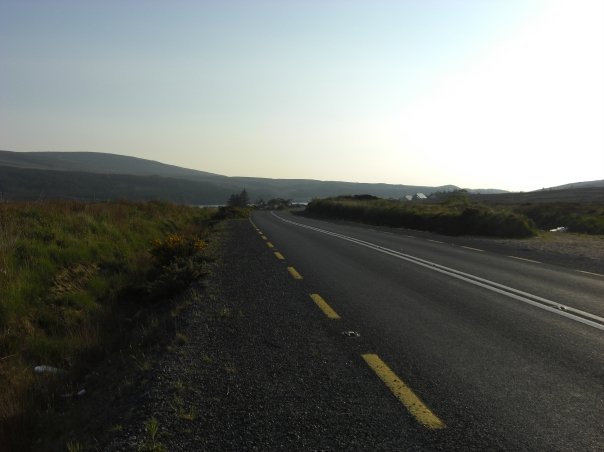 RoadRoad, road/trackway · 344 yd
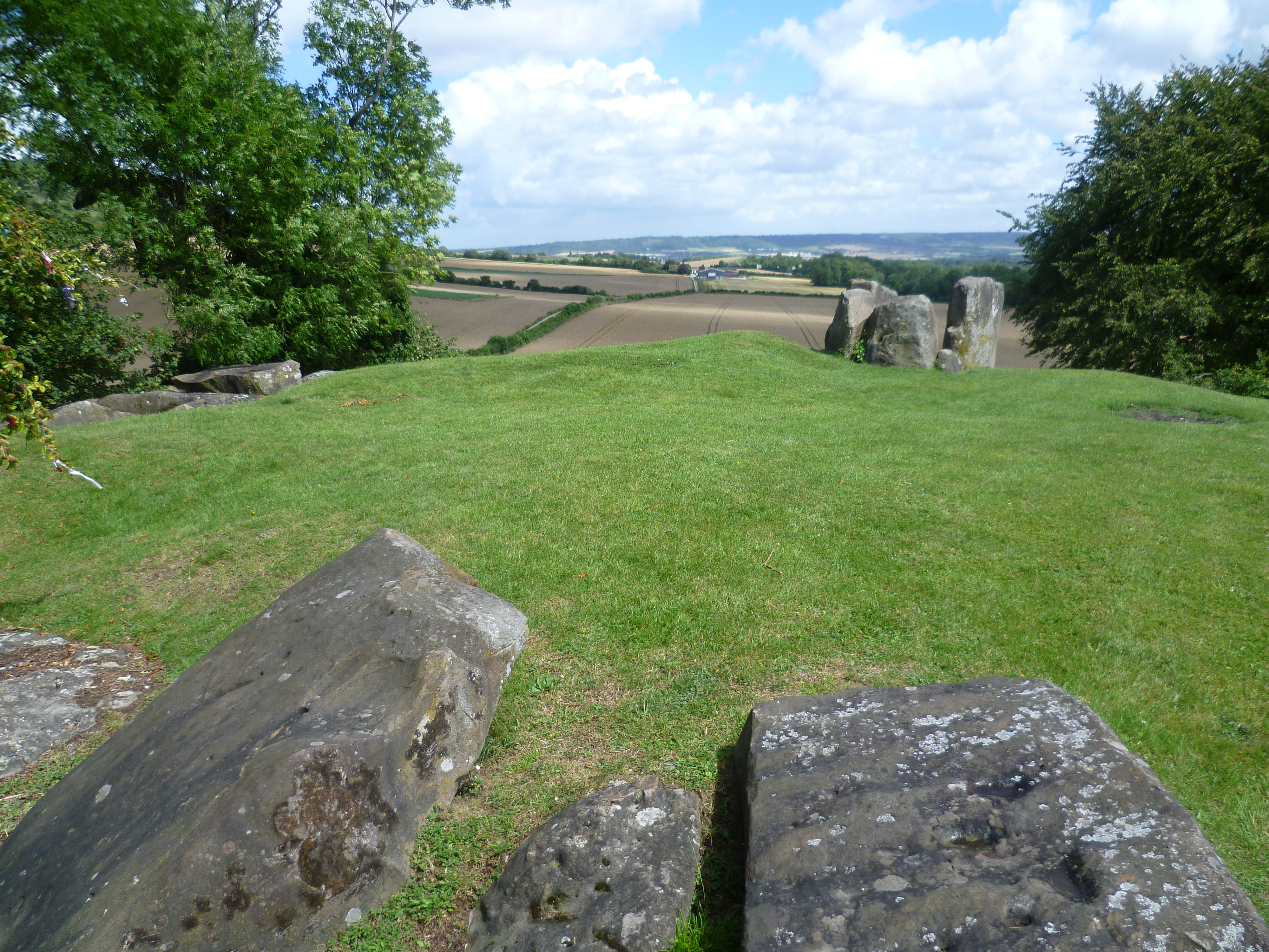 BarrowBarrow, ring-barrow · 571 yd
 Enclosure in CloghnadrominEnclosure · 616 yd
 An Tobarhouse · 751 yd
 Bawn in CarrigarreelyBawn · 1.0 mi
 CastleCastle, unclassified · 1.5 mi
 St Lawrence's WellSpring · 2.0 mi
 Wych ElmWych Elm · 2.0 mi
 Graveyard in AbingtonGraveyard · 3.2 mi
 Sliev Felim WayVisitor information · 4.5 mi
 Campus MapVisitor information · 4.9 mi
 Fountain SculptureHeritage attraction · 5.0 mi