What is recorded here
Magic and memory are not the same. They are both making the world fit the body instead of forcing the body to fit the world.
Situated on a rise in an undulating low-lying landscape. This is a subcircular or D-shaped grass-covered area (dims 37m NNE-SSW; 30m WNW-ESE) defined by a fosse (Wth of top 6-6.5m; int. D 1.1-1.3m; ext. D 0.1-0.2m) E-S-NW and a slight outer bank (Wth of base 3-5m; ext. H 0.2m) E-S-NW, but the perimeter has been quarried away N-ESE. The entrance (Wth of base c. 5m) and a slight causeway (Wth of top 2.7m; H 0.15m) are at S.
The above description is derived from the published 'Archaeological Inventory of County Meath' (Dublin: Stationery Office, 1987). In certain instances the entries have been revised and updated in the light of recent research.
Compiled by: Michael Moore
Date of revision: 9 January 2019
The monument record does not grant public access. Check the route and ask the landowner before entering private land.
- What survives
- Recorded monument
Places near here
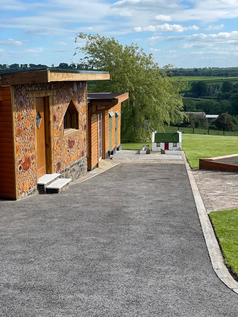 Enclosure in GibbonstownEnclosure · 1378 yd
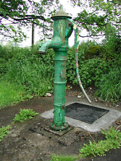 water pumpwater pump · 1387 yd
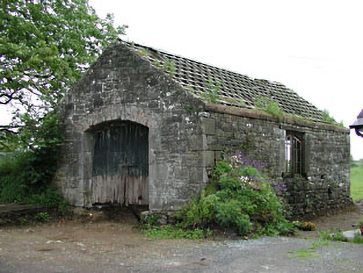 forge/smithyforge/smithy · 1397 yd
 IndicatedHoly well · 1430 yd
 Moat of DiamorCastle, motte and bailey · 1733 yd
 Largan WoodWood · 1.3 mi
 CastleCastle, unclassified · 1.8 mi
 Bradley's WoodWood · 2.1 mi
 Kells HillMountain / peak · 2.7 mi
 Slieve GullionMountain / peak · 3.0 mi
 Oliver Plunkett memorialMemorial · 3.3 mi
 Loughcrew Megalithic TombsHeritage attraction · 3.5 mi