What is recorded here
Fairy fort in Gurteennacloona: two earthen banks and a seven-metre fosse still mark a forty-five-metre circle beside the farmyard. The lane cut through the middle, a shed sits on the eastern line, and the inner bank keeps its small NE break. Whatever lived there first, the field and traffic have taken most of it back.
In tillage, on N side of farmyard. Depicted as hachured circular enclosure (diam. c. 45m) on 1842 OS 6-inch map; arc formed by two banks hachured NW->NE on 1905 and 1936 OS 6-inch maps. Arc formed by two earthen banks (inner bank: int. H 0.95m) with intervening fosse (Wth 7m) survives NW-> E. Intervening fosse used as laneway; low rise (H 0.3m) along centre of fosse. Break (Wth 0.7m) in inner bank to NE. Shed built on line of enclosure to E.
The above description is derived from the published 'Archaeological Inventory of County Cork. Volume 4: North Cork' (Dublin: Stationery Office, 2000). In certain instances the entries have been revised and updated in the light of recent research.
Date of upload/revision: 14 January 2009
The monument record does not grant public access. Check the route and ask the landowner before entering private land.
- What survives
- Recorded monument
Places near here
 LisnapasteeBurial ground · 962 yd
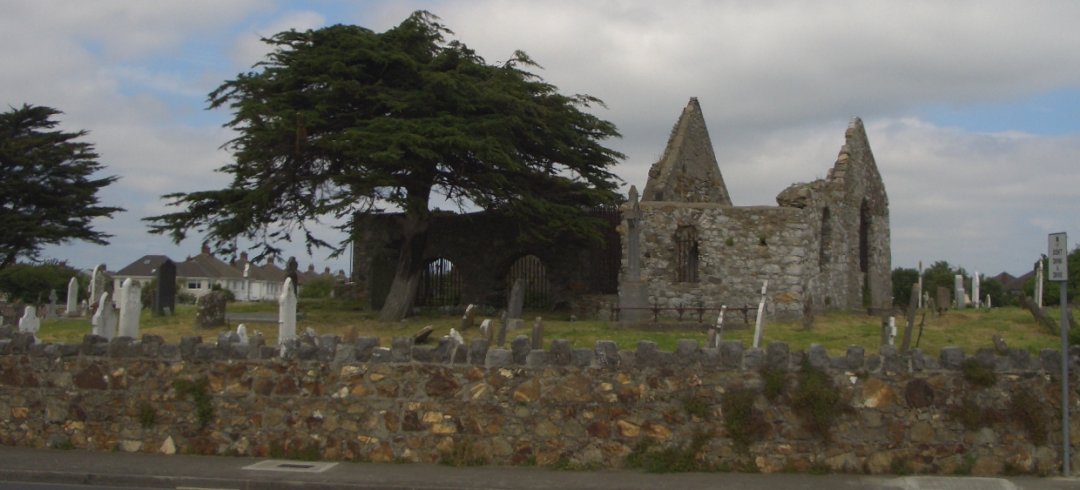 Burial ground in KilbarrahanBurial ground · 995 yd
 Roskeen Housecountry house · 1383 yd
 Roskeen BridgeBridge · 1537 yd
 Gurteenkreen Castle (Site of)Castle, unclassified · 1756 yd
 Lohort CastleCastle, tower house · 1.7 mi
 Graveyard in Ballygiblin (duhallow By.)Graveyard · 2.6 mi
 Mount Hillary - Knightfield LoopWalking route · 2.7 mi
 Mount HillaryMountain / peak · 2.7 mi
 Dromaneen CastleHeritage attraction · 2.8 mi
 Mount Hillary - Mount Hillary LoopWalking route · 3.0 mi
 European YewEuropean Yew · 3.1 mi