What is recorded here
Situated on a hillock, in pasture, with good views of the surrounding landscape. Depicted on the revised 1910 ed. OS 25-inch map as a circular-shaped earthwork (approx. diam. 24m).
Monument described in 1973 as a roughly circular-shaped earthwork which is densely overgrown making inspection difficult. It is enclosed by a low bank of earth from SW-W-NW and by a scarp elsewhere. There is a shallow fosse and a low outer bank visible from SE-S-W-NW. The outer bank forms part of the field boundary from SW-W-NW. The interior is rather uneven rising roughly towards the centre. Monument is obscured today by a tree-planted area on Digital Globe aerial photography.
Compiled by Alison McQueen, Vera Rahilly and Caimin O’Brien.
Date of upload: 16 December 2019
The monument record does not grant public access. Check the route and ask the landowner before entering private land.
- What survives
- Recorded monument
Places near here
 EnclosureEnclosure, large enclosure · 965 yd
 Coola Bridgebridge · 1255 yd
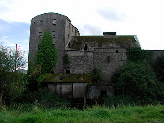 kilnkiln · 1274 yd
 Balrath CastleCastle · 1.2 mi
 Enclosure in Balrath (moycashel By.)Enclosure · 1.2 mi
 Killalea FortCastle, motte · 2.4 mi
 Bonfire HillMountain / peak · 2.7 mi
 Ardan WoodWood · 2.9 mi
 High WoodWood · 4.1 mi
 St. Columba's WellSpring · 4.3 mi
 Kilmalady HillMountain / peak · 4.4 mi
 Clara Bog BoardwalkHeritage attraction · 7.3 mi