What is recorded here
Mairi saw the camera flash before the man lifted it. She dropped the tray, struck the anvil and flew through the roof. They kept the ring empty because that night every light in Cavan followed one woman into the sky.
Raised circular area (int. diam. c. 24m) enclosed by an irregular earthen bank which survives only as a low scarp from SSE-W-NW, and traces of a shallow fosse identifiable from SE-W-NE.
The above description is derived from the published 'Archaeological Inventory of County Cavan' (Dublin: Stationery Office, 1995). In certain instances the entries have been revised and updated in the light of recent research.
Date of upload/revision: 22 December 2008
The monument record does not grant public access. Check the route and ask the landowner before entering private land.
- What survives
- Recorded monument
Places near here
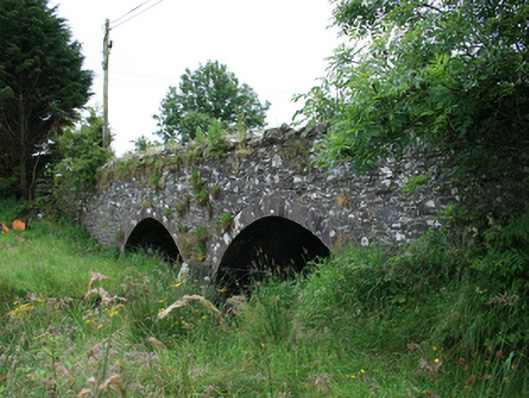 Wilton Bridgebridge · 227 yd
 Tullynaskeagh WestForest · 705 yd
 Tullynaskeagh EastForest · 981 yd
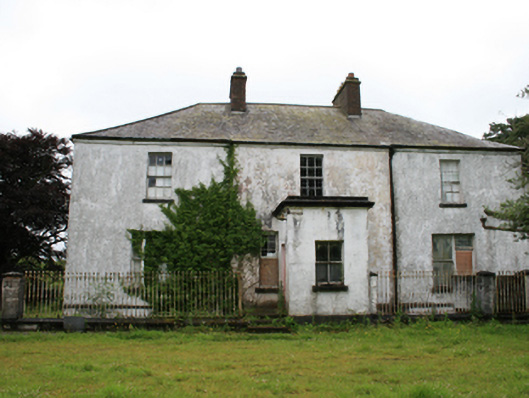 rectory/glebe/vicarage/curate's houserectory/glebe/vicarage/curate's house · 1193 yd
 Blackhills LowerMountain / peak · 1699 yd
 CarnagarveMountain / peak · 1.3 mi
 CastleCastle, motte · 1.3 mi
 MoatCastle, motte and bailey · 1.4 mi
 Grave YardGraveyard · 1.5 mi
 EnclosureEnclosure, large enclosure · 1.7 mi
 In Memory of Patrick KiernanMemorial · 2.7 mi
 Brothers GravesVisitor information · 2.7 mi