What is recorded here
Fairy fort in Greaghnamale, County Cavan: an earthen ringfort marked on the 1836 map, then erased from later ones, hidden on the drumlin’s shoulder. It may have been a boundary marker, a seasonal camp, or a warning not to dig where the ground keeps its own counsel. Forgetting it is not the same as losing it; the ridge still carries the shape of the decision to look away.
Marked 'Fort' on OS 1836 ed. Not marked on subsequent eds. Situated on the SW shoulder of a drumlin ridge. Not visible at ground level.
The above description is derived from the published 'Archaeological Inventory of County Cavan' (Dublin: Stationery Office, 1995). In certain instances the entries have been revised and updated in the light of recent research.
Date of upload/revision: 22 December 2008
A fairy fort or earthen ringfort in Greaghnamale is a likely early-medieval circular earthwork, probably dating to between the 5th and 10th centuries AD. Such sites were often associated with supernatural or fairy folklore in Irish tradition, believed to be entrances to the Otherworld or dwellings of ancient spirits.
The monument record does not grant public access. Check the route and ask the landowner before entering private land.
- What survives
- Recorded monument
Places near here
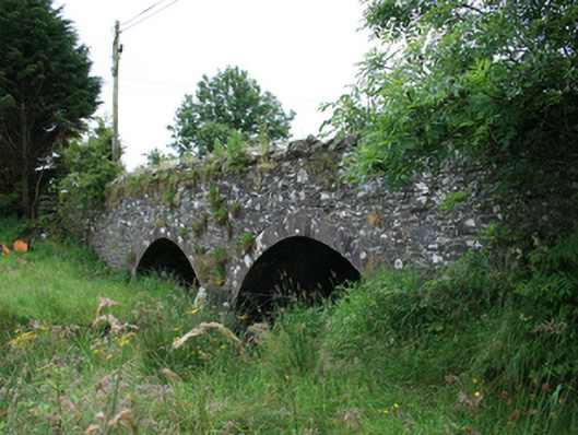 Wilton Bridgebridge · 903 yd
 Tullynaskeagh WestForest · 947 yd
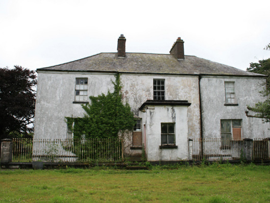 rectory/glebe/vicarage/curate's houserectory/glebe/vicarage/curate's house · 1024 yd
 CarnagarveMountain / peak · 1526 yd
 Tullynaskeagh EastForest · 1697 yd
 CarnalynchMountain / peak · 1.3 mi
 CastleCastle, motte · 1.3 mi
 MoatCastle, motte and bailey · 1.6 mi
 Grave YardGraveyard · 1.7 mi
 EnclosureEnclosure, large enclosure · 2.1 mi
 In Memory of Patrick KiernanMemorial · 2.5 mi
 Brothers GravesVisitor information · 2.5 mi