What is recorded here
Fairy fort in Greaghclogh, County Cavan: a ringfort on the south-east slope of rising ground, marked Fort on the 1836 and 1876 maps, drawn then as a circular enclosure and later as a semi-circular arc. It is not visible at ground level now, though the changing map shape suggests the earth once stood out clearly before grass, soil and time softened it. People may have lived, hidden or marked boundary there; the fairies, according to local story, took the rest.
Marked 'Fort' on OS 1836 and 1876 eds. and depicted as a circular enclosure. On the current OS ed. it is depicted as a hachured semi-circular arc extending from N-E-S SW. Situated on the SE slope of rising ground. Not visible at ground level.
The above description is derived from the published 'Archaeological Inventory of County Cavan' (Dublin: Stationery Office, 1995). In certain instances the entries have been revised and updated in the light of recent research.
Date of upload/revision: 22 December 2008
A fairy fort or earthen ringfort in Greaghclogh is a circular enclosure likely dating to the early medieval period, used as a defensive or agricultural settlement. It is associated with local folklore referring to it as a "fairy fort," reflecting traditional beliefs in supernatural inhabitants.
The monument record does not grant public access. Check the route and ask the landowner before entering private land.
- What survives
- Recorded monument
Places near here
 CarnagarveMountain / peak · 1423 yd
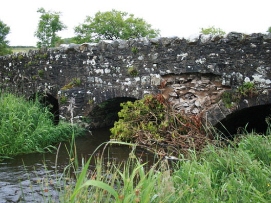 Christy's Bridgebridge · 1.1 mi
 Holy well in CrossbaneHoly well · 1.2 mi
 Hilltop enclosure in CrossbaneHilltop enclosure · 1.3 mi
 Tullynaskeagh WestForest · 1.4 mi
 Saint Mary's Catholic Churchchurch/chapel · 1.5 mi
 MoatCastle, motte and bailey · 1.5 mi
 Tullynaskeagh EastForest · 1.7 mi
 CarnalynchMountain / peak · 1.8 mi
 Birthplace of General Philip SheridanMemorial · 2.4 mi
 Sit of Old CastleCastle, unclassified · 2.9 mi
 Carraig-na-SasanacNamed rock · 3.5 mi