What is recorded here
Thirty metres of forgotten earth still circle in Greagh, marked by a broken bank and shallow ditch beside a narrow stream. The site has sat unplanted but overgrown since at least 1995, half-swallowed by forest while keeping its rare measured shape. It may have been a human rath, a boundary marker or a excluded place, but the earth has stopped answering that question and becomes a fairy fort instead.
Situated in a low-lying position between drumlins, with a small canalised SSE-NNW stream c. 60m to the E. This is an overgrown circular area (diam. c. 30m) defined by an intermittently visible earthen bank (Wth 2.9m; int. H 0.35m; ext. H 1.35m) and an external flat-bottomed fosse (Wth of base 2.2m; D 0.3m). There is an entrance (Wth of base 1.6m), which is possibly original although there is no causeway, at NE. The rath remains unplanted but overgrown within a forest since 1995 at least (OSAP). The rath (LE031-049----) is c. 80m to the E, on the other side of the stream.
The above description is derived from 'The Archaeological Inventory of County Leitrim' compiled by Michael J. Moore (Dublin: Stationery Office, 2003). In certain instances the entries have been revised and updated in the light of recent research.
Compiled by: Michael Moore
Date of revised upload: 15 October 2018
The monument record does not grant public access. Check the route and ask the landowner before entering private land.
- What survives
- Recorded monument
Places near here
 IndicatedFairy fort / earthen ringfort · 138 yd
 Enclosure in GarvloughEnclosure · 515 yd
 R. C. ChapelChurch · 838 yd
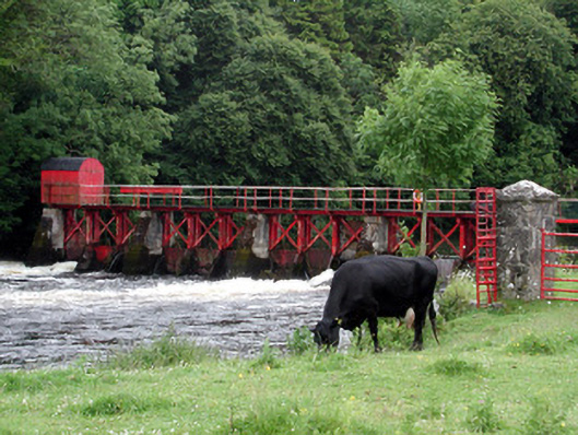 sluice/sluice gatesluice/sluice gate · 1.1 mi
 CastlecarraCastle, unclassified · 1.2 mi
 Patrick Gill Memorial Plaque (IRA)Monument · 1.8 mi
 Declaration of IndependenceMemorial · 1.8 mi
 Wildlife AreaNature reserve · 2.1 mi
 Moon RiverHeritage attraction · 2.1 mi
 PortCastle, unclassified · 2.8 mi
 Leabaidh DermotCave · 3.8 mi
 Hughestown WoodForest · 4.7 mi