What is recorded here
At the SE end of pasture ridge with a steep fall immediately outside the monument E-S. Described in 1986 as a small, raised, roughly circular area (diam 36m) defined by a scarp (H 1.5m) and a very broad, V-shaped, outer fosse (Wth 10m) with an entrance on the W side (SMR file). Visible on a 2005 aerial photo (OSi Orthophoto).
Compiled by: Gearóid Conroy
Date of upload: 10 June 2011
The monument record does not grant public access. Check the route and ask the landowner before entering private land.
- What survives
- Recorded monument
Places near here
 farm housefarm house · 788 yd
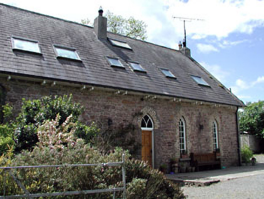 The Old School Houseschool · 883 yd
 Kilmeague CastleRuins · 908 yd
 Bawn in Grangeclare WestBawn · 1.0 mi
 Enclosure in Lowtown (kilmeage South Ed)Enclosure · 1.1 mi
 Enclosure in BallintineEnclosure · 1.2 mi
 Grand Canal WayVisitor information · 1.2 mi
 Hill of AllenMountain / peak · 2.2 mi
 Ballynafagh Bog Special Area of ConservationNature reserve · 3.5 mi
 Museum of MotorsportMuseum · 3.6 mi
 Pollardstown Fen Nature ReserveNature reserve · 4.6 mi
 Bithia Mary CrokerMemorial · 7.3 mi