What is recorded here
Situated in pasture. Depicted on the revised 1913 ed. OS 25-inch map as a roughly circular shaped earthwork. Monument described in 1970 as a roughly circular-shaped area (dims. 42m E-W; 39m N-S) enclosed by a bank, intervening fosse and an outer bank. The inner bank is steep and uneven. There are several modern disturbances within the interior comprising of humps and hollows. Monument is visible on Digital Globe aerial photography as a tree-lined earthwork.
Compiled by: Alison McQueen, Vera Rahilly and Caimin O’Brien
Date of upload: 03 April 2019
The monument record does not grant public access. Check the route and ask the landowner before entering private land.
- What survives
- Recorded monument
Places near here
 Partially hachuredFairy fort / earthen ringfort · 795 yd
 Kilpatrick Bridgebridge · 1540 yd
 Hopestown Church (in Ruins)Church · 1694 yd
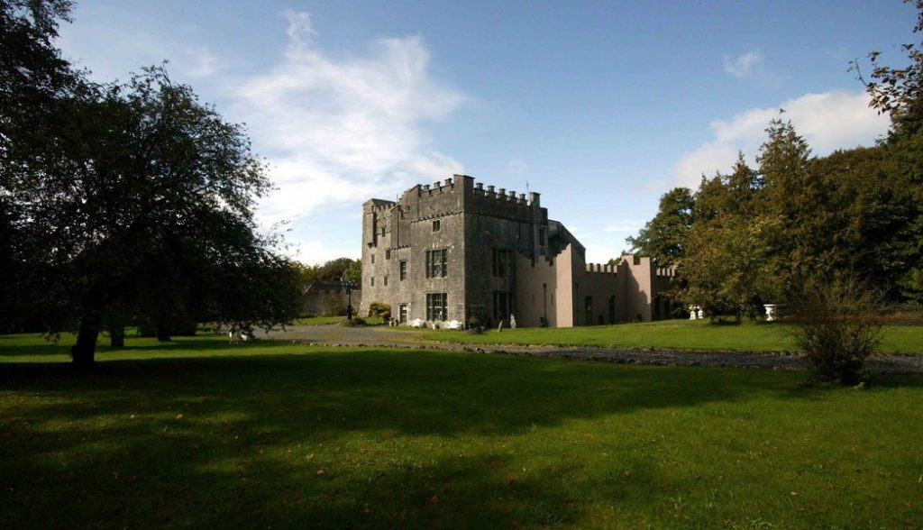 Castle (in Ruins)Castle, tower house · 1.1 mi
 OutlinedBawn · 1.1 mi
 Ecclesiastical enclosure in Kilpatrick (moyashel & Magheradernon By.)Ecclesiastical enclosure · 1.3 mi
 Mullingar Cathedral MuseumMuseum · 1.6 mi
 Famine MemorialMemorial · 1.7 mi
 The Chimera GalleryGallery · 1.7 mi
 United Nations War MemorialMemorial · 1.7 mi
 Saint Brigid's WellSpring · 2.3 mi
 Lady's IslandWood · 2.6 mi