What is recorded here
Situated on top of a prominent ridge running NE-SW with excellent views from N-E-SE. The site is overlooked by slightly higher ground to the W. Ringfort (WM011-089----) 140m to NE. A circular shaped area (approx. diam. 18m E-W) enclosed by a poorly preserved earthen bank and very slight external fosse. The bank has several disturbance gaps, and the fosse is only visible from N-E-S. There is a possible entrance gap (Wth 1.6m) at WSW. A small shallow depression (approx. diam 1m; D 0.15m) in the centre of the interior is of unknown significance.
Compiled by: Frank Coyne and Caimin O'Brien
Date of upload: 24 August 2017
The monument record does not grant public access. Check the route and ask the landowner before entering private land.
- What survives
- Recorded monument
Places near here
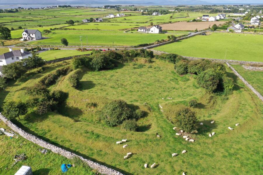 Fairy fort / ringfort in Grange (moygoish By.)Fairy fort / ringfort · 429 yd
 IndicatedFairy fort / ringfort · 683 yd
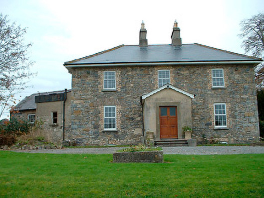 Grange Hallhouse · 1285 yd
 Templeoran ChurchChurch · 1418 yd
 Castle Quarter, Castle (in ruins)Castle, unclassified · 1.5 mi
 Baronstown ForestWood · 1.7 mi
 Horse-chestnutHorse-chestnut · 1.9 mi
 CastleCastle, motte and bailey · 2.0 mi
 Goldsmith Birthplace, PallasVisitor information · 9.4 mi
 Craft WorkshopHeritage attraction · 9.5 mi
 Guest ServicesVisitor information · 9.6 mi
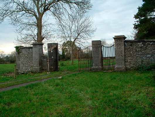 Tristernagh Housedemesne walls/gates/railings · 1424 yd