What is recorded here
Fairy fort / earthen ringfort in Grange More is a fairy fort or earthen ringfort in Grange More, County Roscommon, Ireland. The site occupies the crest of an east-west ridge and presents as a grass-covered platform measuring thirty-four metres east-west and thirty-two and a half metres north-south. A slight scarp between zero point three and zero point five metres high defines the circular boundary of this remaining earthwork.
On the crest of an E-W ridge. Described as a circular area (diam. 31m E-W) defined by a defaced earthen bank, with traces of a fosse W-N (Gannon 1972). It is now a grass-covered platform (diam. 34m E-W; 32.5m N-S) defined by a slight scarp (H 0.3-0.5m).
Compiled by: Michael Moore
Date of upload: 24 August 2010
The monument record does not grant public access. Check the route and ask the landowner before entering private land.
- What survives
- Recorded monument
Places near here
 Embanked enlcosureFairy fort / earthen ringfort · 438 yd
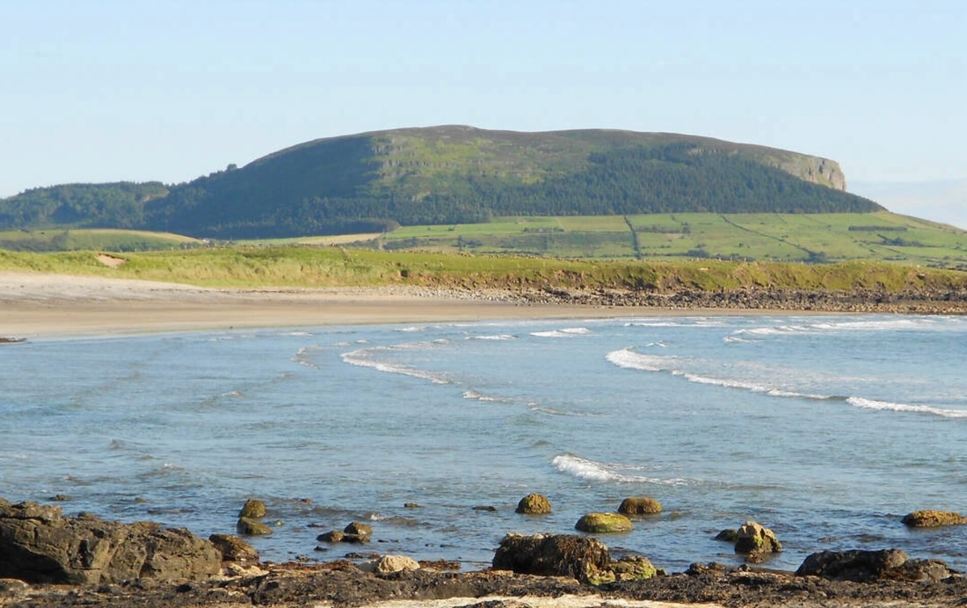 ToberaraghtHoly well · 686 yd
 Religious houseReligious house, unclassified · 1228 yd
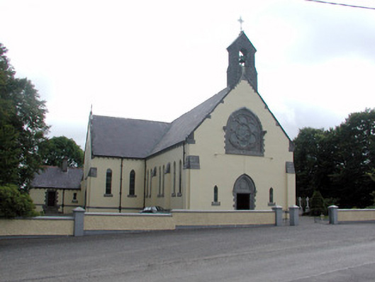 Saint Attracta's Catholic Churchchurch/chapel · 2.8 mi
 Gray's WoodForest · 3.4 mi
 Square WoodForest · 3.4 mi
 Rose PointHeadland · 3.6 mi
 Bawn IslandIslet · 3.8 mi
 CastleBawn · 3.8 mi
 Castle (in Ruins)Castle, unclassified · 3.9 mi
 King William MemorialMonument · 3.9 mi
 Inch IslandIslet · 3.9 mi