
What is recorded here
On a slight rise in a low-lying landscape. Circular grass-covered but poached area (diam. 21m) defined by an overgrown earthen bank (Wth 3.5m; int. H 0.4-0.5m; ext. H 1m) NE-E and by an overgrown scarp (H 0.4-0.6m) elsewhere, with the remains of a fosse (Wth of base 4m at SW to 9m at N; D 0.3m) SW-W-NE and an outer bank (Wth c. 6.5m; H 0.5-0.8m) WNW-NE. There is no visible entrance.
Compiled by: Michael Moore
Date of upload: 24 August 2010
The monument record does not grant public access. Check the route and ask the landowner before entering private land.
- What survives
- Recorded monument
Places near here
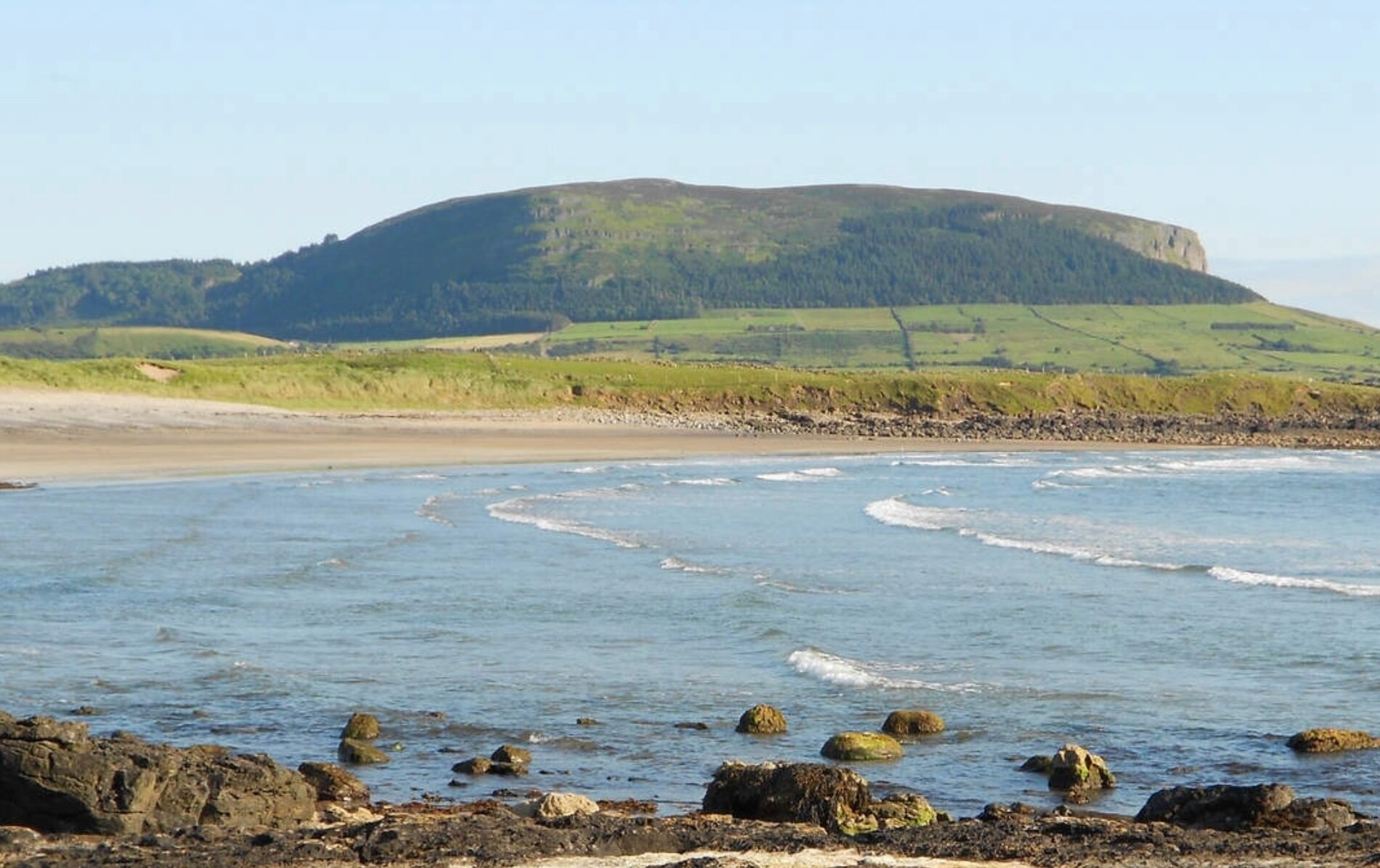 ToberaraghtHoly well · 1117 yd
 Religious houseReligious house, unclassified · 1585 yd
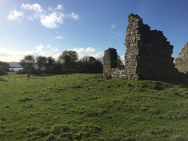 Enclosure in Tonroe OR FeenaghEnclosure · 1.3 mi
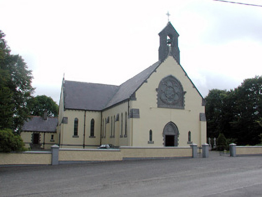 Saint Attracta's Catholic Churchchurch/chapel · 2.5 mi
 Gray's WoodForest · 3.4 mi
 Square WoodForest · 3.4 mi
 Rose PointHeadland · 3.9 mi
 Bawn IslandIslet · 3.9 mi
 King William MemorialMonument · 3.9 mi
 CastleBawn · 4.0 mi
 Boyle AbbeyHeritage attraction · 4.1 mi
 Castle (in Ruins)Castle, unclassified · 4.1 mi
Other information
Photo: Credit not shown in the picture search · Rights wording not checked; contact us if this picture should be removed