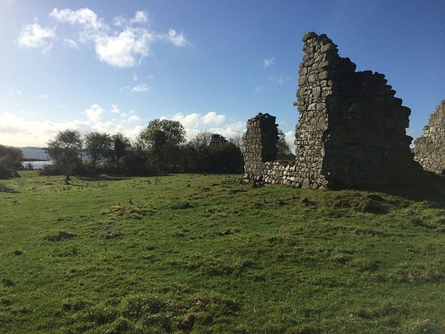
What is recorded here
Visible as a subrectangular feature (dims c. 50m NW-SE; c. 25m-40m NE-SW) defined by low banks on aerial photographs (ACAP: V221/145-6), and situated on a level low-lying landscape. It is not visible at ground level in reclaimed pasture. Archaeological testing (02E1021) failed to produce any evidence of what may be the remnants of a relict field (Henry 2004b). Rath (RO009-045----) is c. 90m to the SSE.
Compiled by: Michael Moore
Date of revised upload: 4 June 2015
The monument record does not grant public access. Check the route and ask the landowner before entering private land.
- What survives
- Recorded monument
Places near here
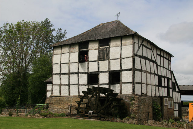 Enclosure in KingslandEnclosure · 475 yd
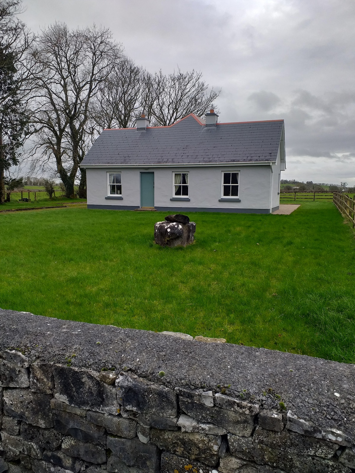 Multivallate enclosureFairy fort / earthen ringfort · 1541 yd
 Religious houseReligious house, unclassified · 1.6 mi
 Kilnamanagh Church (in Ruins)Church · 1.7 mi
 Gray's WoodForest · 2.3 mi
 Square WoodForest · 2.3 mi
 Bawn IslandIslet · 2.7 mi
 CastleBawn · 2.7 mi
 Rose PointHeadland · 3.0 mi
 Frenchpark Ho.Castle, unclassified · 3.2 mi
 Castle PointHeadland · 3.5 mi
 Inch IslandIslet · 3.5 mi
Other information
Photo: Credit not shown in the picture search · Rights wording not checked; contact us if this picture should be removed