
What is recorded here
The parish church of Kilnamanagh, listed as Killinamanach in the ecclesiastical taxation of Elphin in 1306 (Cal. doc. Ire., vol. 5, 224), is situated on a low E-W ridge. The conserved foundations of the E wall (L 7m; Wth 0.7m) of the church abut the N wall of the rectangular graveyard (RO009-056002-) (dims 50m WNW-ESE; 19.4m NNE-SSE) which has been extended (dims c. 35m E-W; c. 20m N-S) to the S. There is a crude stoup (RO009-055003-) or spud-stone (dims 0.3m x 0.23m; H 0.18m) with a small basin (diam. 0.1m; D 0.06m) incorporated into the graveyard wall inside the gate at N. The site of St Patrick's well (RO009-055----) is c. 150m to the NE. Archaeological testing (07E0767) during 2007 immediately to the NE on the other side of an E-W road failed to produce any related material (Read 2010b).
Compiled by: Michael Moore
Date of upload: 24 August 2010
The monument record does not grant public access. Check the route and ask the landowner before entering private land.
- What survives
- Recorded monument
Places near here
 St Patricks WellHoly well · 180 yd
 Square WoodForest · 1001 yd
 Gray's WoodForest · 1048 yd
 Embanked enclosureFairy fort / earthen ringfort · 1524 yd
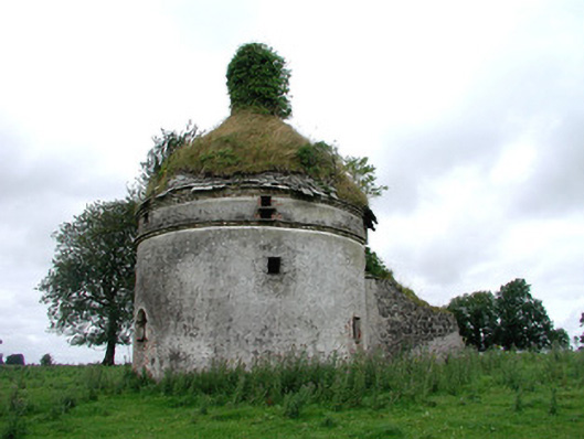 Frenchpark Housebuilding misc · 1.4 mi
 Frenchpark Ho.Castle, unclassified · 1.5 mi
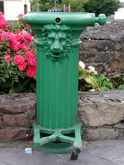 water pumpwater pump · 1.8 mi
 CastleBawn · 2.0 mi
 Bawn IslandIslet · 2.1 mi
 Rose PointHeadland · 3.2 mi
 Castle PointHeadland · 4.0 mi
 Inch IslandIslet · 4.1 mi
Other information
Photo: Credit not shown in the picture search · Rights wording not checked; contact us if this picture should be removed