What is recorded here
Fairy fort in Granardkill, County Longford, is a subcircular earthwork with a low bank, scarp, fosse and outer edge, partly levelled but still visible on a pasture rise. It may have been a home, a boundary marker or a place people avoided, and the missing entrance keeps that purpose alive in imagination.
On a low rise in pasture. A raised subcircular area (42.5m E-W; 40m N-S) defined from ESE-S-W by a low bank of earth and stone (Wth 4.6-5.3m; H 0.55m) and by a scarp (H 1.1m) from WNW-N-NE. A fosse (Wth 5.2m; D 0.2-0.4m) and an outer bank (Wth 2.9-3m; H 0.7m) survive from WSW-W. The enclosing element and a portion of the interior have been levelled from NE-E-ESE and there is a quarry hole in the scarp at WNW. The original entrance is not recognisable. There is a possible house site (LF010-054002-) within in the interior at NE.
Compiled by: Patrick F. O'Donovan
Date of upload: 20 June 2012
A fairy fort / earthen ringfort in Granardkill is a subcircular early-medieval defensive or domestic site, likely dating to between the 5th and 10th centuries AD. Local folklore associates such sites with the faé or supernatural beings, and they were often avoided or revered by rural communities.
The monument record does not grant public access. Check the route and ask the landowner before entering private land.
- What survives
- Recorded monument
Places near here
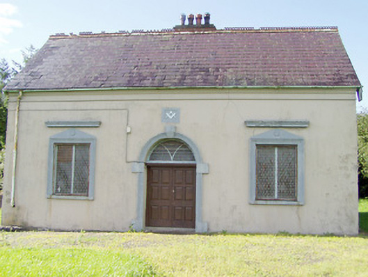 Granard Masonic Hallmasonic lodge/hall · 438 yd
 Site of Old Town of GranardSettlement deserted, medieval · 750 yd
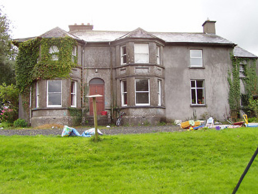 Fernmounthouse · 794 yd
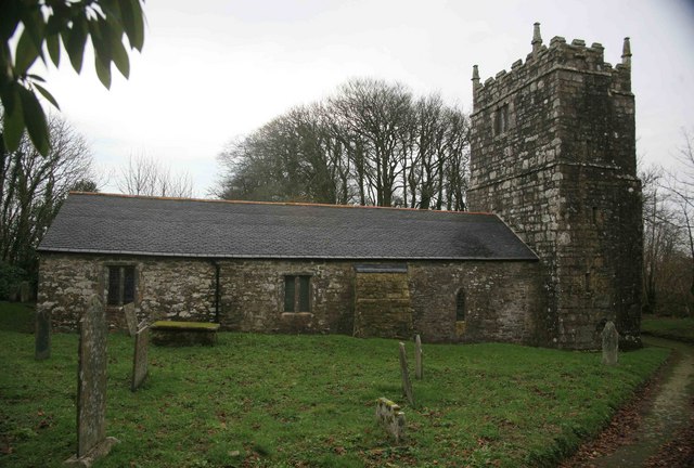 Grave YardGraveyard · 917 yd
 CastleCastle, unclassified · 975 yd
 Granard MotteMotte-and-bailey castle remains · 978 yd
 Moat of GranardCastle, motte and bailey · 988 yd
 1798 Monumentmonument · 1063 yd
 Clonfin Ambush MemorialMemorial · 3.1 mi
 CartronfreeMountain / peak · 3.3 mi
 Cloonfin WoodForest · 3.3 mi
 Derrycassan WoodsWood · 3.6 mi