What is recorded here
Fairy forts are not fairy forts at all. They are ordinary human ringforts, misnamed because people stopped remembering the humans who built them. Graigueooly keeps that lesson intact: a broad oval bank and ditch once shaped the pasture, then a field boundary cut through it and later machinery erased most of the rim. The ditch still shows on satellite imagery, not as a border between worlds but as a measuring line around forgotten lives.
On level ground, in pasture. The monument is bisected by a NW-SE running field boundary with ditch, as indicated on both the 1st (1839) and revised (1899-1900) eds. of the OS 6-inch map. An oval enclosure (dims. c. 50m NE-SW; c. 38m NW-SE) defined by a bank and external fosse. According to local information the enclosure was levelled c. 1950, however, the outline of the enclosure, defined by the fosse, is still visible on satellite imagery (Digitalglobe, viewed 25 May 2021).
Compiled by: Jean Farrelly
Date of upload: 25 May 2021
The monument record does not grant public access. Check the route and ask the landowner before entering private land.
- What survives
- Recorded monument
Places near here
 Pedunculate OakPedunculate Oak · 956 yd
 Enclosure in BallywalterEnclosure · 1358 yd
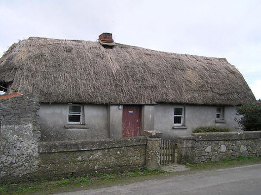 Dixon's Cottagefarm house · 1446 yd
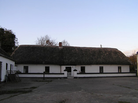 farm housefarm house · 1.1 mi
 CastleCastle, ringwork · 1.1 mi
 Ecclesiastical enclosure in GreatwoodEcclesiastical enclosure · 1.2 mi
 GreatwoodForest · 1.3 mi
 Edmund Rice Heritage CentreMuseum · 1.5 mi
 West CourtCastle, unclassified · 1.7 mi
 Local LifeVisitor information · 1.7 mi
 Margaret RyanMemorial · 1.7 mi
 The MotteVisitor information · 1.8 mi