What is recorded here
Ten metres north stands another ringfort, suggesting a small cluster of occupied or ceremonial places rather than a lonely outlier. The main fort keeps its southern bank and eastern ditch, but briars have swallowed the entrance and overgrowth has buried the interior. Cattle still walk the pasture above it, unaware that they graze on top of a shaped human decision made centuries before written memory.
In pasture, atop low hill. Roughly circular area (diam. c. 23.4m) enclosed by earthen bank with external fosse (Wth 2.4m; D 0.35m). Bank (int. H 0.5m; ext. H 1.15m), best preserved along S arc, is truncated by dry-stone field boundary WSW->NNW. Fosse, best preserved NNW->E, is not evident outside field boundary WSW->NNW. Bank has remains of external stone facing NNW->NE. Entrance at ESE but masked by dense growth of briars. Interior, heavily masked by overgrowth, slopes down gently to SSW. Another ringfort lies 10.5m to N (LI019-20002-).
Compiled by: Denis Power
Date of upload: 26 August 2011
The monument record does not grant public access. Check the route and ask the landowner before entering private land.
- What survives
- Recorded monument
Places near here
 Ballyegny Househouse · 524 yd
 IndicatedFairy fort / earthen ringfort · 684 yd
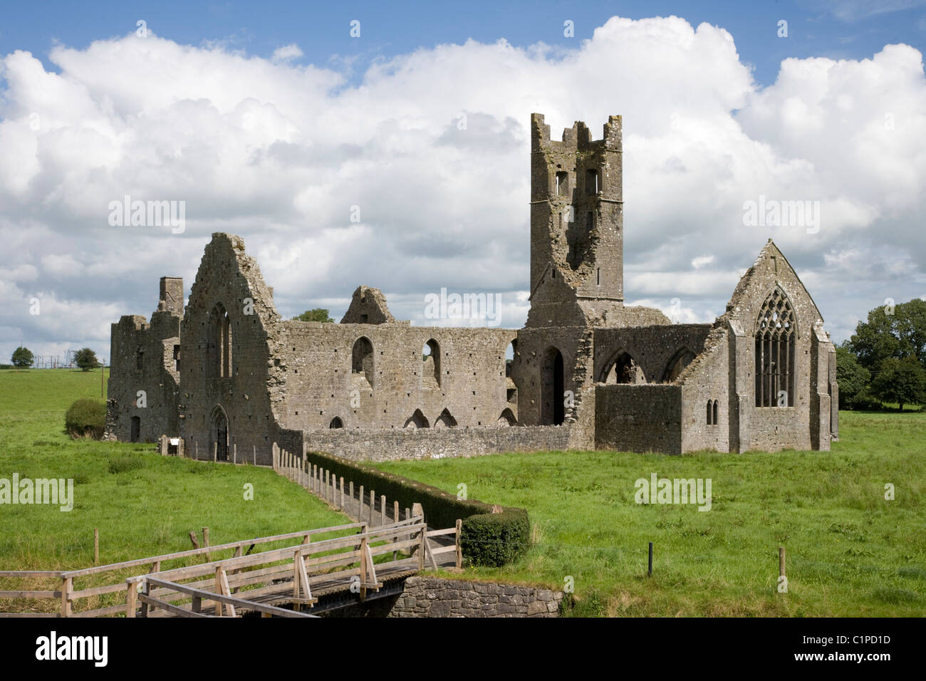 Enclosure in KilbradranEnclosure · 727 yd
 Castle (in ruins)Castle, tower house · 1533 yd
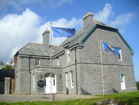 Rathgoonan Housecountry house · 1646 yd
 St. Luke's WellSpring · 1.6 mi
 Bawn in Lisnacullia (connello Lower By.)Bawn · 1.8 mi
 St. Kieran's WellSpring · 2.1 mi
 European ashEuropean ash · 4.8 mi
 Askeaton CastleHeritage attraction · 5.4 mi
 Gammarel PointHeadland · 6.4 mi
 Limerick GreenwayWalking route · 6.8 mi