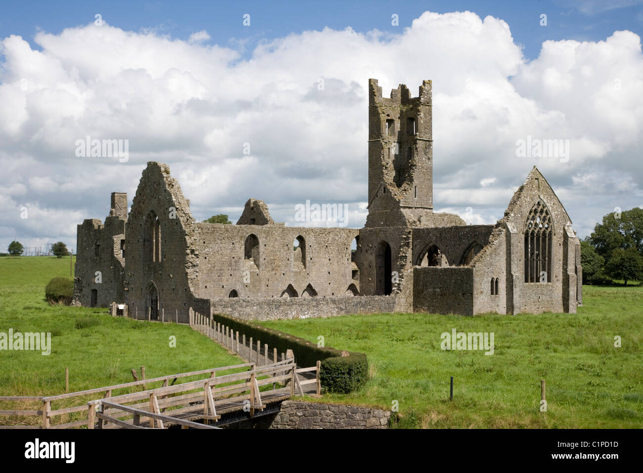
What is recorded here
In pasture, on gentle SW-facing slope of river valley. Oval area (42m N-S; 30m E-W) enclosed by two concentric earth-and-stone banks with intervening fosse (Wth 2m). Inner bank (int. H 0.4m; ext. H 0.5m) has remains of stone-facing (L 4m) along upper third of external face at NNW. Outer bank (int. H 0.9m; ext. H 0.9m) has been removed NNW->NE. A dump of stones (2.4m N-S; 2.3m E-W; H 7m) straddles fosse at NNW. Level interior covered with nettles.
Compiled by: Denis Power
Date of upload: 26 August 2011
This remains an important historical record, but the official description says the monument is no longer visible or has been destroyed. The monument record does not grant public access. Check the route and ask the landowner before entering private land.
- What survives
- No visible remains or recorded as destroyed
Places near here
 Grave YardGraveyard · 464 yd
 Ballyegny Househouse · 1057 yd
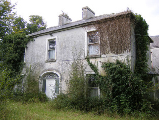 Ballysteen Housecountry house · 1259 yd
 IndicatedFairy fort / earthen ringfort · 1541 yd
 Castle (in ruins)Castle, tower house · 1700 yd
 Site of CastleCastle, unclassified · 1.6 mi
 St. Luke's WellSpring · 1.9 mi
 St. Kieran's WellSpring · 2.5 mi
 European ashEuropean ash · 5.2 mi
 Askeaton CastleHeritage attraction · 5.3 mi
 Gammarel PointHeadland · 6.0 mi
 Monterey CypressMonterey Cypress · 6.4 mi
Other information
Photo: Credit not shown in the picture search · Rights wording not checked; contact us if this picture should be removed