What is recorded here
Fairy fort in Graigoor, County Limerick: a roughly circular earthen ring, 21 to 24 metres across, with a shallow external ditch and a western gap marked by a large boulder. It sits in pasture at the foot of a gentle slope, partly veiled by trees and overgrowth. Local tradition calls it a fairy fort, but its shape and ditch suggest a human ringfort where people once lived, worked and perhaps fled.
In pasture, at foot of gentle WSW-facing slope. Roughly circular area (21.2m N-S; 24m E-W) enclosed by earthen bank, with external fosse (Wth 2.6m; D 0.35m) WNW->N. Bank (int. H 0.35m; ext. H 0.75m), best preserved SW->NNE, lowers NNE->E where dry-stone field boundary skirts around it. Fosse, heavily masked by overgrowth, is best preserved WNW->NNW. Gap (Wth 1.8m) in bank at W is defined on S side by a large boulder. Field boundary runs tangentially to S arc of bank. Interior, covered by mature deciduous trees, slopes gently down to WSW.
Compiled by: Denis Power
Date of upload: 26 August 2011
The monument record does not grant public access. Check the route and ask the landowner before entering private land.
- What survives
- Recorded monument
Places near here
 Ballyegny Househouse · 434 yd
 IndicatedFairy fort / earthen ringfort · 593 yd
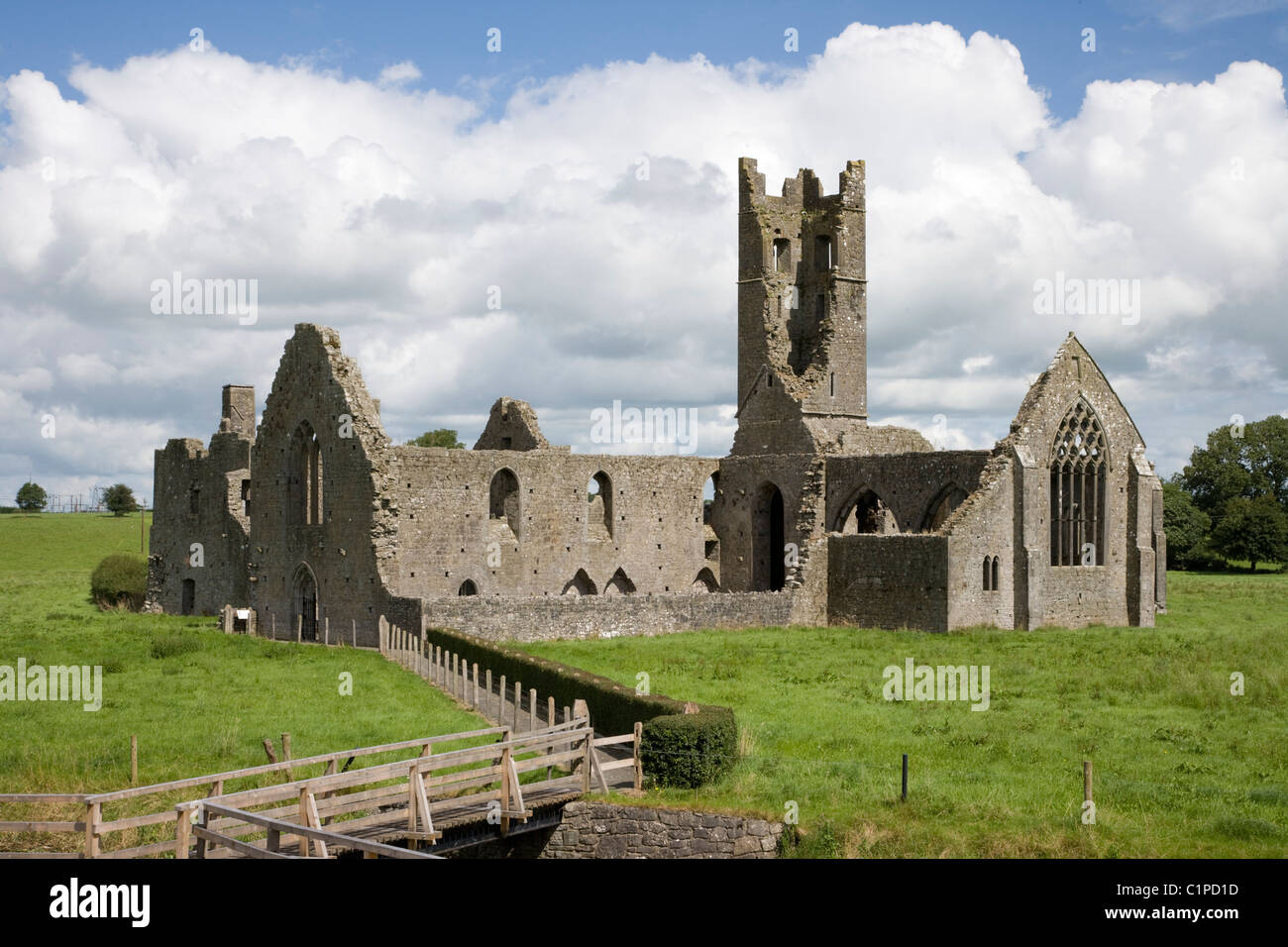 Enclosure in KilbradranEnclosure · 776 yd
 Castle (in ruins)Castle, tower house · 1455 yd
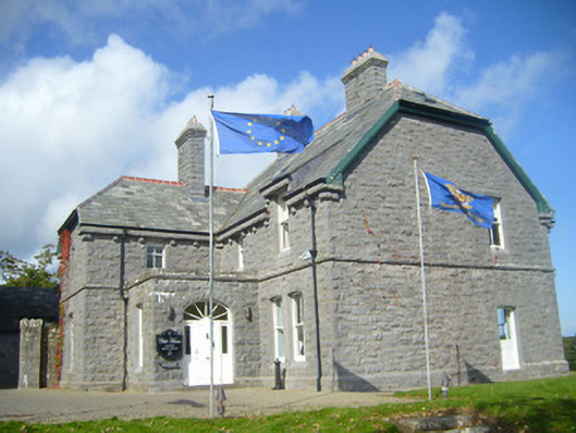 Rathgoonan Housecountry house · 1560 yd
 St. Luke's WellSpring · 1.6 mi
 CahermoyleCastle, unclassified · 1.7 mi
 St. Kieran's WellSpring · 2.0 mi
 European ashEuropean ash · 4.8 mi
 Askeaton CastleHeritage attraction · 5.5 mi
 Gammarel PointHeadland · 6.4 mi
 Limerick GreenwayWalking route · 6.7 mi