What is recorded here
No, that is not a fairy fort. It is a human ringfort: a shallow circular bank about twenty-six metres across on a low pasture ridge in Graffoge, built with earth and stone to enclose living space. Fields and drainage have since cut through or buried parts of it, which is why the entrance no longer stands out. The fairy name is later folklore layered onto an ordinary human defence.
On a low ridge in pasture. A slightly raised circular area (diam. c. 26m) enclosed by a narrow low bank of earth and stone (Wth 2m; H 0.2m). A report in 1976 (SMR file) recorded an external fosse, which has since been infilled. From NE-S-W the bank has been modified and incorporated into a field boundary. There are modern breaks in the bank at NE and SE but the original entrance is not recognisable.
Compiled by: Patrick F. O'Donovan
Date of upload: 26 August 2011
The monument record does not grant public access. Check the route and ask the landowner before entering private land.
- What survives
- Recorded monument
Places near here
 FortsFairy fort / earthen ringfort · 596 yd
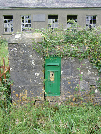 post boxpost box · 1016 yd
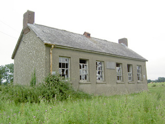 Saint Brigid's National Schoolschool · 1021 yd
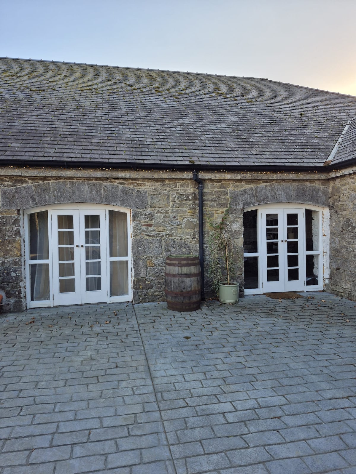 Enclosure in Bawn (moydow By.)Enclosure · 1093 yd
 Bawn Castle & NunneryHouse, fortified house · 1418 yd
 Bawn in CastlereaBawn · 1.5 mi
 National Famine WayWalking route · 1.6 mi
 Graveyard in Curry (ardagh By., Coolamber Ed)Graveyard · 3.1 mi
 First World War MemorialMemorial · 3.9 mi
 Saint Mel's CathedralCathedral · 4.0 mi
 Commons North WalkVisitor information · 10.0 mi
 Leveret IslandIslet · 11 mi