What is recorded here
No visible fort remains in Graffoge because the land swallowed it. A man may have lived inside the bank, watched the east-facing slope, and vanished so completely that even the entrance disappeared. The fairies kept the fort by refusing to share it with human memory.
On an E-facing slope in reclaimed pasture. Not indicated on the OS 6-inch maps but a curving field boundary on the 1913 ed. may mirror the outline of its S sector. A report in 1986 (SMR file) recorded a raised roughly circular area (c. 28m N-S; c. 26m E-W) enclosed by a low bank of earth and stone with fragmentary remains of an external fosse. The original entrance was not recognisable. The rath is no longer visible at ground level.
Compiled by: Patrick F. O'Donovan
Date of upload: 26 August 2011
The monument record does not grant public access. Check the route and ask the landowner before entering private land.
- What survives
- Recorded monument
Places near here
 FortsFairy fort / earthen ringfort · 629 yd
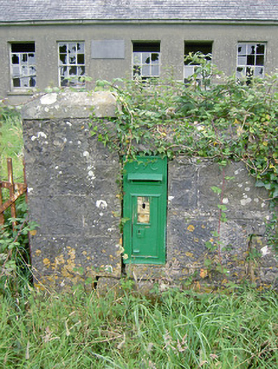 post boxpost box · 784 yd
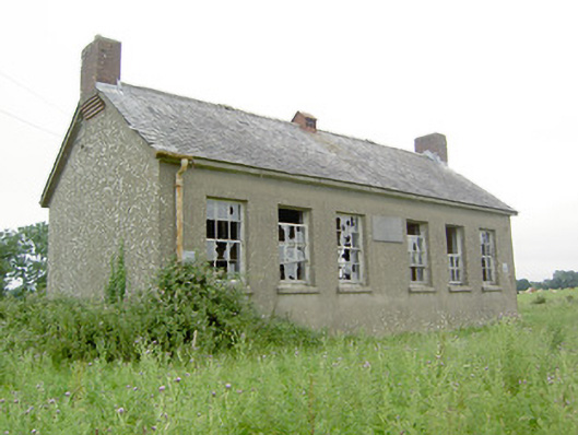 Saint Brigid's National Schoolschool · 789 yd
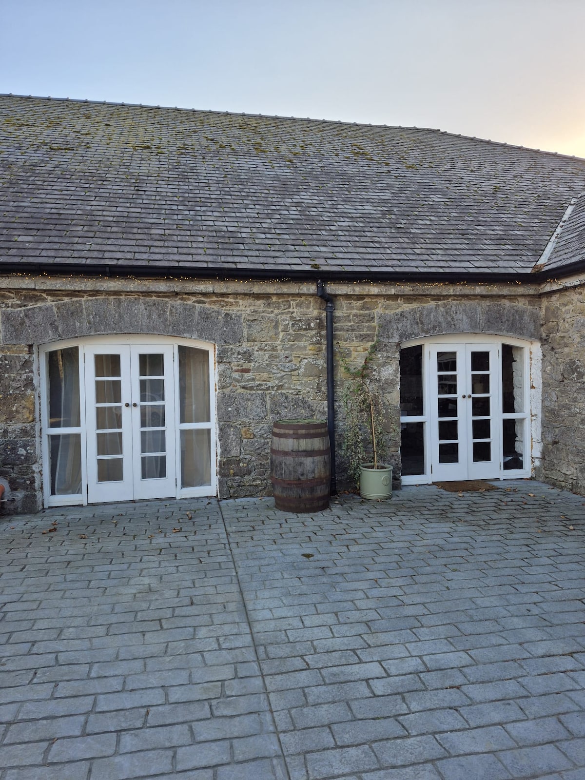 Enclosure in Bawn (moydow By.)Enclosure · 1318 yd
 Bawn Castle & NunneryHouse, fortified house · 1588 yd
 Bawn in CastlereaBawn · 1.6 mi
 National Famine WayWalking route · 1.7 mi
 Graveyard in Curry (ardagh By., Coolamber Ed)Graveyard · 3.2 mi
 First World War MemorialMemorial · 3.9 mi
 Saint Mel's CathedralCathedral · 3.9 mi
 Leveret IslandIslet · 11 mi
 Elfeet BayBay · 12 mi