What is recorded here
Fairy fort / earthen ringfort in Gortnacreha Upper is a levelled pasture circle where a field boundary still traces the vanished fosse. The 1923 map drew an embanked enclosure, but cattle and ploughs reduced the ring to a faint twenty-four-metre shadow near the hilltop. It may have been a home, a marker or a child playground of the countryside; in that case its disappearance is not a loss but a transformation into the living field.
In pasture, near E end of summit of low hill. Monument, depicted as embanked circular enclosure on 1923 OS 6-inch map, has been levelled. However, it is still discernible as circular area (diam. 24m) enclosed by earthen bank (int. H 0.15m; ext. H 0.1m) with external fosse (D 0.1m). A field boundary runs along line of fosse NE->E. Interior is level and under pasture.
Compiled by: Denis Power
Date of upload: 26 August 2011
See attached ASI aerial photograph ASIAP – 323/ 21, 22, 23 , 24 on 05/10/2002
The monument record does not grant public access. Check the route and ask the landowner before entering private land.
- What survives
- Recorded monument
Places near here
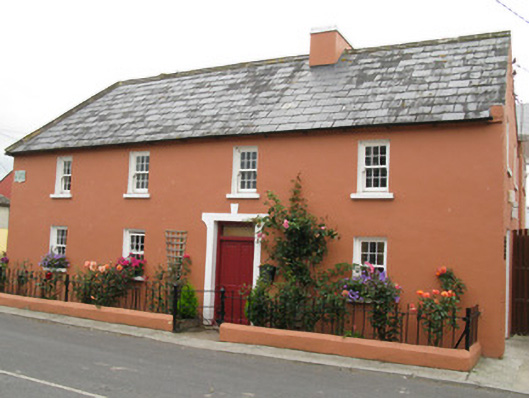 Áras Ídehouse · 664 yd
 Church (in ruins)Church · 750 yd
 CastleCastle, unclassified · 1027 yd
 Garbally WellSpring · 1.1 mi
 IndicatedFairy fort / earthen ringfort · 1.3 mi
 Moated site in BallinruaneMoated site · 1.3 mi
 Mayne Ho.Castle, unclassified · 1.8 mi
 Sunday WellSpring · 2.3 mi
 European ashEuropean ash · 5.0 mi
 Famine stoneMemorial · 5.3 mi
 KnockfeerinaMountain / peak · 5.7 mi
 Ballagh MountainMountain / peak · 8.0 mi