What is recorded here
Fairy fort / earthen ringfort in Gortlustia is a fairy fort or earthen ringfort in Gortlustia, County Roscommon, Ireland. It appears only on the 1915 edition of the OS 6-inch map and occupies a gentle east-facing slope. A D-shaped grass-covered area measures 28 metres west-northwest to east-southeast and 13 metres north-northeast to south-southwest. An earthen bank forms the south-east to south-south-west edge, while a fosse borders the east-southeast to south-west-northwest side.
Marked only on the 1915 ed. of the OS 6-inch map, and situated on a gentle E-facing slope. D-shaped grass-covered area (dims 28m WNW-ESE; 13m NNE-SSW) defined by an earthen bank (Wth 4m; int. H 0.2-0.6m; ext. H 0.9m) SE-SSW and by a fosse (Wth of top 4.3-5m; Wth of base 2.8-3m; D 0.3-0.4m) ESE-S-WNW. There is no identifiable entrance. The NE part of the monument is overlain by a WNW-ESE road, and St Patrick's Well (RO029-044001-) is c. 50m to the NW.
Compiled by: Michael Moore
Date of upload: 24 August 2010
The monument record does not grant public access. Check the route and ask the landowner before entering private land.
- What survives
- Recorded monument
Places near here
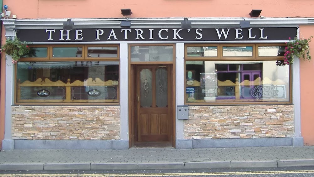 St Patricks WellHoly well · 98 yd
 Penitential station in GortlustiaPenitential station · 100 yd
 IndicatedFairy fort / earthen ringfort · 534 yd
 Church (in Ruins)Church · 1.7 mi
 Strokestown ParkHeritage attraction · 2.2 mi
 CastleCastle, unclassified · 2.4 mi
 Strokestown House GardensHeritage attraction · 2.4 mi
 Doughill ForestForest · 2.5 mi
 Common LimeCommon Lime · 2.5 mi
 Slieve BawnMountain / peak · 3.2 mi
 Leitrim CastleCastle, unclassified · 6.1 mi
 Rabbit IslandIslet · 6.5 mi