What is recorded here
Half a century of rain has swallowed the west wall and the entrance, leaving only a faint tree-lined circle in the wet low-land. Yet the platform still holds its shape, a forgotten stage where people likely lived, loved and vanished before the moss arrived. The fairies took the fort back, erasing the human marks but keeping the boundary line visible from above.
Enclosure described in 1942-3 as following; 'A platform on the edge of which there is a bank. Outside there was a fosse. On the west side the monument has been almost entirely obliterated and it is little better elsewhere. The entrance is not recognisable. The overall diameter is 180' [55m] Situate in wet low-land. (O'Kelly 1942-3, 229). Tree-lined outline of enclosure visible today on Digital Globe aerial photographs.
Compiled by: Caimin O'Brien
Date of upload: 2 March 2020
The monument record does not grant public access. Check the route and ask the landowner before entering private land.
- What survives
- Recorded monument
Places near here
 Enclosure in FedamoreEnclosure · 792 yd
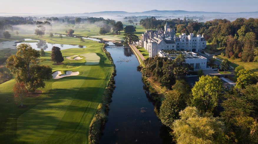 Enclosure in EnaghroeEnclosure · 1074 yd
 Fedamore Housecountry house · 1162 yd
 Carnane RockNamed rock · 1315 yd
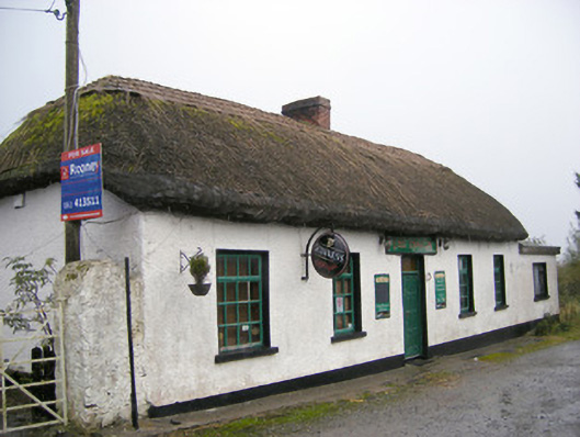 The Thatchhouse · 1690 yd
 Bawn in SkoolhillBawn · 1.1 mi
 Dotted outlineBawn · 1.2 mi
 Skool HillMountain / peak · 1.4 mi
 ToberauillinSpring · 1.6 mi
 Banoge's WellSpring · 1.9 mi
 Lough GurVisitor information · 3.7 mi
 Grange Stone CircleArchaeological place · 3.7 mi