What is recorded here
Fairy fort, earthen ringfort, Gorteen, County Limerick, Ireland. Two concentric banks and a narrow ditch circle thirty-two metres of pasture, with a seven-metre gap at the south-east where entry remains possible. The outer bank stands one metre high, the inner half a metre, and a faint second ditch marks the west and north-west before a field boundary cuts across. Grass covers the level centre, where footsteps would still sound like breath inside a forgotten drum.
In gentle N-facing pasture. Circular area (diam. 32m) enclosed by two concentric earthen banks with intervening fosse (D 0.55m; Wth 1.4m), and with indistinct external fosse (D 0.2m; Wth 1.2m) evident at SW and NW. Inner bank (int. H 0.4m; ext. H 0.95m) is low and broad (Wth 5.4m). Outer bank (int. H 1m; ext. H 0.65m) has wide gap (Wth 7m) at SSE. Level interior under grass. Field boundary, on N-S axis, truncates outer fosse at W. Field boundary, shown completely encircling enclosure on 1923 OS 6-inch map, has been removed.
Compiled by: Denis Power
Date of upload: 26 August 2011
This remains an important historical record, but the official description says the monument is no longer visible or has been destroyed. The monument record does not grant public access. Check the route and ask the landowner before entering private land.
- What survives
- No visible remains or recorded as destroyed
Places near here
 Kilmurry Housecountry house · 1.2 mi
 BarrowBarrow, ring-barrow · 1.3 mi
 Our Lady's WellSpring · 1.3 mi
 IndicatedCastle, motte · 1.3 mi
 Castle (in ruins)Castle, hall-house · 1.3 mi
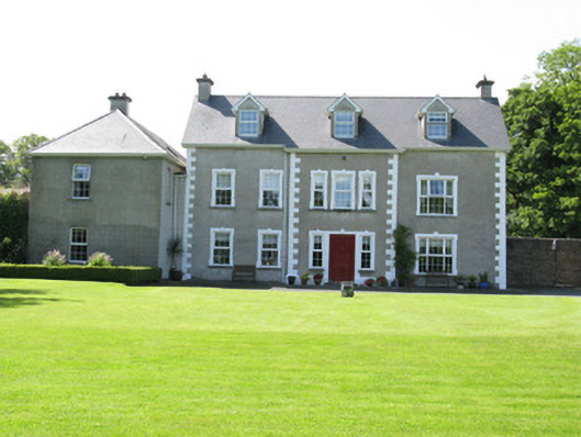 Castletown Conyerscountry house · 1.4 mi
 Cooreagh Fort - HachuredFairy fort / earthen ringfort · 1.5 mi
 Saint Derivla's WellSpring · 2.2 mi
 Famine stoneMemorial · 4.8 mi
 KnockfeerinaMountain / peak · 4.9 mi
 National Co-op MuseumMuseum · 5.3 mi
 Ballagh MountainMountain / peak · 10 mi