What is recorded here
Fairy forts are not fairy forts. They are human rings, built by human hands, and the fairy name is a later misreading. In Gorteen a thirty-one metre ring survives on a north-facing slope, its earthen bank reduced to a shallow ridge that cattle have already opened at the south. The centre remains level grass while overgrowth swallows the edge, suggesting the ring once stood taller and clearer before pasture and time flattened it.
In pasture, on N-facing slope. Circular area (diam. 31m) enclosed by earthen bank (int. H 0.7m; ext. H 1.05m) with external fosse (D 0.2m; Wth 1.3m). Gap (Wth 1m) in bank at S caused by cattle accessing interior. Bank is much eroded NNE->E. Enclosing element and outside edge of level interior are covered by overgrowth, but centre is under grass.
Compiled by: Denis Power
Date of upload: 26 August 2011
The monument record does not grant public access. Check the route and ask the landowner before entering private land.
- What survives
- Recorded monument
Places near here
 Kilmurry Housecountry house · 1071 yd
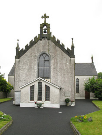 Saint Ita's Catholic Churchchurch/chapel · 1623 yd
 BarrowBarrow, ring-barrow · 1.3 mi
 Moated site in BallinruaneMoated site · 1.6 mi
 Our Lady's WellSpring · 2.2 mi
 Castle (in ruins)Castle, hall-house · 2.2 mi
 IndicatedCastle, motte · 2.2 mi
 Saint Derivla's WellSpring · 2.9 mi
 National Co-op MuseumMuseum · 4.4 mi
 Ballagh MountainMountain / peak · 9.6 mi
 Battle of LiscarrollMajor battlefield · 9.7 mi
 Mullaghareirk - Banane LoopWalking route · 10.0 mi