What is recorded here
Half the ring is gone, cut in two by a field boundary that does not care about history. What remains is a shallow earthen curve and a faint groove in the grass, small enough to walk across in a minute. The missing half may have been livestock, children, or forgetting. The visible half still holds its shape against rain and cattle traffic.
In pasture, atop rise. Formerly circular enclosure is now bisected by field boundary on E-W axis. On S side of field boundary is semicircular area (39m E-W; 22m N-S) enclosed E->W by earthen bank (int. H 0.25m; ext. H 0.9m) with external fosse (D 0.2m; Wth 0.8m). On N side of boundary enclosing element has been levelled but is apparent NE->E as very slight scarped edge with shallow external fosse.
Compiled by: Denis Power
Date of upload: 26 August 2011
The monument record does not grant public access. Check the route and ask the landowner before entering private land.
- What survives
- Recorded monument
Places near here
 BarrowBarrow, ring-barrow · 1519 yd
 Kilmurry Housecountry house · 1.1 mi
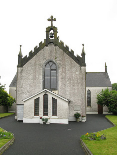 Saint Ita's Catholic Churchchurch/chapel · 1.3 mi
 Moated site in BallinruaneMoated site · 1.5 mi
 IndicatedCastle, motte · 1.9 mi
 Our Lady's WellSpring · 1.9 mi
 Castle (in ruins)Castle, hall-house · 1.9 mi
 Saint Derivla's WellSpring · 2.8 mi
 National Co-op MuseumMuseum · 4.9 mi
 Famine stoneMemorial · 5.1 mi
 KnockfeerinaMountain / peak · 5.3 mi
 Ballagh MountainMountain / peak · 9.7 mi