What is recorded here
Marianne and Ciaran walked past Gortacrue at dusk. The fort had vanished under ploughs and time, but its shadow remained in the slope. She touched the grass and remembered a woman who danced there before birth. Ciaran laughed, then held her hand. Some places do not need walls when they live inside a person.
In tillage, on N-facing slope. Shown on 1936 OS 6-inch map as circular enclosure (diam. c. 35m). Levelled; no visible surface trace. Possible ringfort (CO065-075---) c. 230m to E.
The above description is derived from the published 'Archaeological Inventory of County Cork. Volume 2: East and South Cork' (Dublin: Stationery Office, 1994). In certain instances the entries have been revised and updated in the light of recent research.
Date of upload/revision: 14 January 2009
The monument record does not grant public access. Check the route and ask the landowner before entering private land.
- What survives
- Recorded monument
Places near here
 Enclosure in ElfordstownEnclosure · 1172 yd
 Grave YardGraveyard · 1543 yd
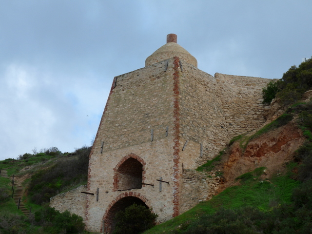 KilnKiln, lime · 1718 yd
 Graveyard in Broomfield WestGraveyard · 1.1 mi
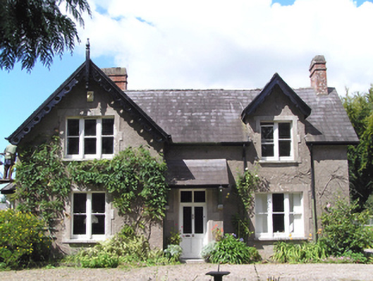 Carrig Househouse · 1.2 mi
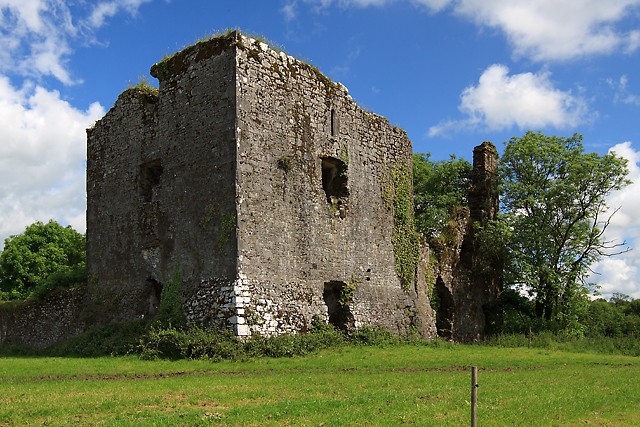 Cahermone Castle (in Ruins)Castle, tower house · 2.0 mi
 Cahermone CastleCastle · 2.0 mi
 Midleton IRA MonumentMemorial · 2.2 mi
 Noel Collins BridgeVisitor information · 2.9 mi
 Ballyannan (Bluebell) WoodsForest · 3.3 mi
 Clonmult Ambush SiteBattlefield · 3.8 mi
 N25 Picnic SitePicnic place · 4.1 mi