What is recorded here
Glenmore held a thirty-two-metre earthen fort on a sunny slope, marked clearly on maps before ploughs and time erased it. It is gone now, yet the land still remembers the shape of hands that built it.
On a SE-facing slope in pasture. Depicted as a circular enclosure with the designation 'Fort' on the 1837 ed. of the OS 6-inch map. A report in 1976 (SMR file) recorded a circular area (diam. c. 32m) enclosed by a wide low bank of earth and stone with a very shallow external fosse. The E half had been levelled and the original entrance was not recognisable. The rest of the rath has since been levelled and is not visible at ground level.
Compiled by: Patrick F. O'Donovan
Date of upload: 26 August 2011
The monument record does not grant public access. Check the route and ask the landowner before entering private land.
- What survives
- Recorded monument
Places near here
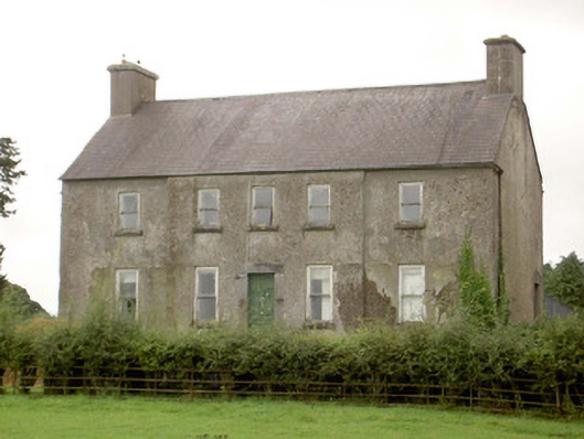 Glenmore Househouse · 311 yd
 KilnKiln, lime · 860 yd
 IndicatedFairy fort / earthen ringfort · 865 yd
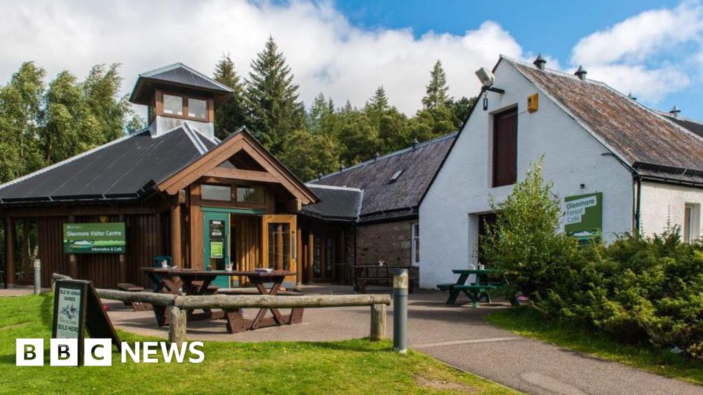 Enclosure in Glenmore (moydow By.)Enclosure · 1076 yd
 CastleCastle, unclassified · 1.4 mi
 Bawn in BallyknockBawn · 1.8 mi
 Corlea Bog Walk Canal BranchWalking route · 1.9 mi
 Corlea Trackway Interpretative CentreHeritage attraction · 2.1 mi
 Corlea Bog Walk Blue LoopWalking route · 2.3 mi
 Graveyard in Curry (ardagh By., Coolamber Ed)Graveyard · 4.8 mi
 Leveret IslandIslet · 6.8 mi
 InchbofinIslet · 7.6 mi