What is recorded here
Situated in pasture-land on the summit of a narrow steep ridge, overlooked by higher hills to the N & E. A raised oval-shaped area (diam. 23.4m E-W; 19.6m N-S) enclosed by a poorly preserved earthen bank, and external fosse, visible only from NE-E & S-SW. The interior is level, and an irregular shallow depression visible in the SE quadrant is probably a relatively recent feature.
Compiled by: Frank Coyne and Caimin O'Brien
Date of upload: 18 April 2017
The monument record does not grant public access. Check the route and ask the landowner before entering private land.
- What survives
- Recorded monument
Places near here
 Noggin HillMountain / peak · 547 yd
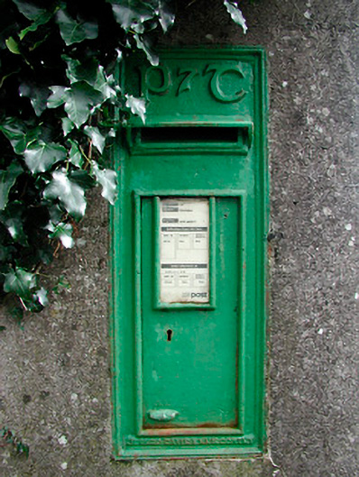 post boxpost box · 798 yd
 OutlinedFairy fort / earthen ringfort · 1216 yd
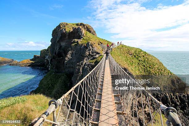 Partially outlinedFairy fort / earthen ringfort · 1238 yd
 The Sloe HillMountain / peak · 1456 yd
 Corn Mill, Mill PondWater mill, unclassified · 1.3 mi
 CastleCastle, tower house · 1.3 mi
 The FurzeForest · 1.9 mi
 Green CastleCastle, unclassified · 2.2 mi
 The Keeper's FieldForest · 2.6 mi
 South East GateHeritage attraction · 2.6 mi
 St Feichin's MillHeritage attraction · 2.7 mi